where are we? are we setworkshop.pdfor 101.19 feet (1.15 ÷ 60 = 0.01967 • 5280 = 101.19). ......
TRANSCRIPT

Where Exactly
Are We?
Brandy VanDeWalle

Where are we headed?
Latitude & Longitude
GPS
Your turn
Ag uses

‘X’ Marks the Spot
Two volunteers…
• One, describe where the X is on the balloon to the other.
• Draw an X when confident they know the location of X.
• Do they match?
• What would be some ways that would have helped get the X Closer?

‘X’ Marks the Spot
Label the balloon N (North Pole) & S (South Pole) N where balloon is tied
Draw Equator (latitude)
Draw Prime Meridian (longitude)
Draw 0 at Equator, 30 N, 30 S, 60 N, 60 S, 90 N at N Pole, 90 S at S Pole.

Longitude
“Long way from North to South Pole”
The angular distance, in degrees, minutes, and seconds, of a point east or west of the Prime Meridian.

Latitude
“Like steps in a ladder between Equator and poles”
The angular distance, in degrees, minutes, and seconds of a point north or south of the Equator. Lines of latitude are often referred to as parallels
Tropic of Cancer (N) & Tropic of Capricorn (S)

Prime Meridian
Equator
Tropic of Cancer
Tropic of Capricorn
23.5 S
23.5 N
Imaginary Lines…


With parallels 69 miles apart, one minute equals 1.15 miles (69 ÷ 60 = 1.15) and one second equals 0.01967 miles or 101.19 feet (1.15 ÷ 60 = 0.01967 • 5280 = 101.19).


Application…
Locate the approximate location of these continents, countries or cities on the balloon..
• Australia – South 25, East 135
• South America – South 0 West 60
• China – North 30 East 30
• Ames, IA - North 42 West 93

Where are you going or have
gone for vacation?

What is GPS?
Global Positioning System
• It is a system of satellites that work with a GPS receiver to determine your location on the earth
Waypoint
• Named for coordinates representing points on the surface of the earth

24 Satellites Total
• 22 are active and 2 & reserve
Need 4 satellites to find a position on Earth

http://www.colorado.edu/geography/gcraft/notes/gps/gps_f.html
11,000 miles12,000 miles
13,000 miles

What is GPS?
Cache (Geocaching)
• A hidden container filled with a log book & pencil, & prize
• Types of Caches
Virtual Cache-historical markers & info plaques
Earthcaches – geologically interesting spots
Puzzle caches – crack the code to continue
Multi-cache – problem solving involved

Over 35 geocaches within 50 miles of Geneva!
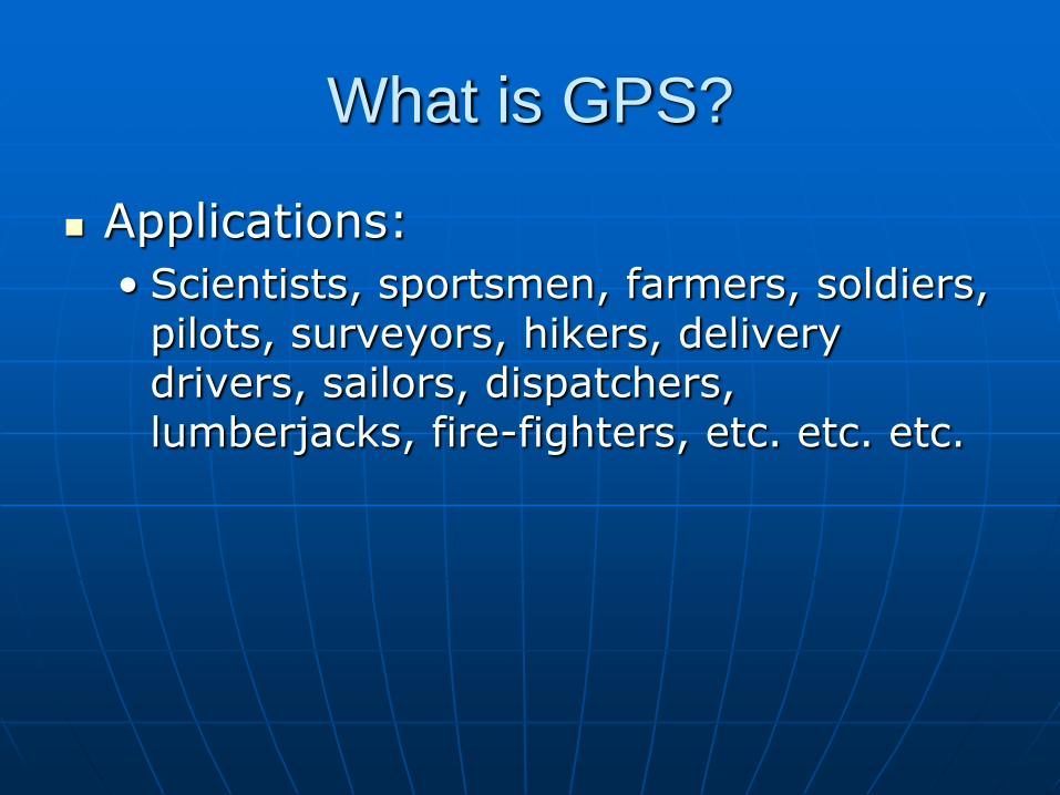
What is GPS?
Applications:
• Scientists, sportsmen, farmers, soldiers, pilots, surveyors, hikers, delivery drivers, sailors, dispatchers, lumberjacks, fire-fighters, etc. etc. etc.

Your turn..
eTrex GPS Receivers
• Power button
• Page button
• Up button
• Down button
• Enter
• LCD Display


Your turn…
With a partner, make a waypoint, switch to see if you can find the spot
• Make a waypoint
• Locate a waypoint
• Make tracks

GPS in Agriculture
Precision Agriculture• sometimes called site-specific farming, allows
a farmer to identify variability within a field and manage that variability to increase crop production & profits
• merging of computers, GPS, GIS (geographic information systems), variable rate controllers (or VRT), in-field & remote sensing, & telecommunications

GPS in Agriculture
Applications?
Benefits?
Drawbacks?

Review & Wrap-Up
What did you find interesting about the GPS unit?
How could GPS be used in your daily life? What could GPS be used for in today’s
world?• Measuring glacier speeds, keeping track of
animal populations, boating, biking, hiking, airplanes, agriculture, tracking stolen vehicles, locating a cell phone of someone who is lost or injured, surveying land, guiding the blind, anything that uses positioning, time or navigation anywhere on Earth and in any type of weather.

Review & Wrap-Up
What is geocaching? What is precision agriculture?
• Examples of how GPS is used in agriculture

Where we went…
Latitude & Longitude
GPS
You do the navigating
Impact on Agriculture

Where Exactly
Are We?