maps and the world. our objectives for today swbat differentiate between a country and a continent...
TRANSCRIPT

Maps and the World

Our Objectives for today
• SWBAT differentiate between a country and a continent and locate the seven continents on a map.
• SWBAT analyze maps using map elements.

Make sure to keep this in mind...
Risk-Takers
It’s your first day in a new class! It can be really hard to speak up at a new school, but let’s have everyone participate together so that we can get to know each other!

Vocabulary: Continent
A continent is one of the landmasses of the Earth; there are seven continents (North America, South America, Europe, Asia, Africa, Australia, Antarctica).

Vocabulary: Country
A country is a section of land with a specific type of government (United States, Mexico, Spain, France, China, etc)

Important Question:
What is the difference between CONTINENTS and COUNTRIES?

Hmm…big thoughts
If the borders of a country changes, will the continent change?

Video Break!
https://www.youtube.com/watch?v=CJpjE2UEYMM
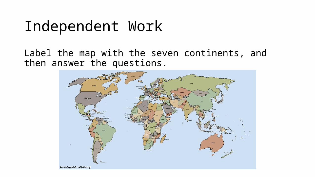
Independent Work
Label the map with the seven continents, and then answer the questions.

Todals! Why?
• TODALS helps us know what we are looking at• We will use TODALS to analyze maps• Every time you are asked to analyze a map, the first thing you will do
is identify the parts of TODALS

Title
• The title tells you what the map is about

Orientation Helps you figure out basic direction
The compass rose is used for this map element

Are you with me?
• Turn and Talk
• Partner 1 (smaller number): What is a Compass Rose?
• Partner 2 (bigger number): Why are Compass Rose’s important?

Date
• The date tells you when the map was made• This is important to know if the map is up to
date

Author
• Tells us who created the map• This is important because you can tell if there are other maps made
by that same author

Legend
• The legend helps you interpret any symbols or colors that appear on the map • Example:

Colors or Symbols
Symbols Colors
Important Question:
Why are legends important?

Scale
• The scale tells you how the real distance compares to the distance on the map

Grid
The gird uses LATITUDE and LONGITUDE lines to help us locate where things are. (More on this next class!)
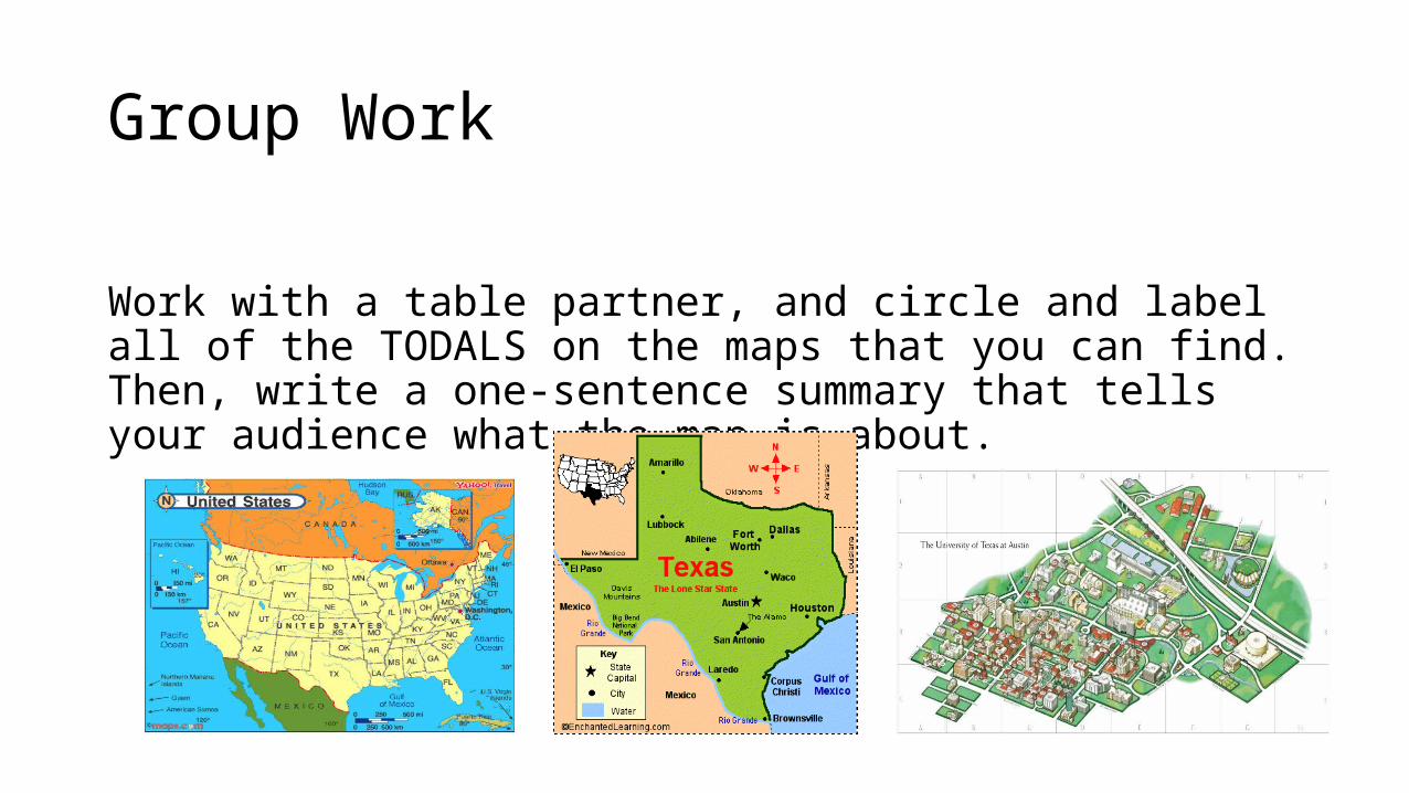
Group Work
Work with a table partner, and circle and label all of the TODALS on the maps that you can find. Then, write a one-sentence summary that tells your audience what the map is about.

Exit Ticket/Group Work
1. Label the seven continents on the map. 2. Circle and label the map elements on the map. 3. In a complete sentence, explain the difference between a country
and a continent.