ping pong match: osgeo & inspire - inspire | welcome...
TRANSCRIPT
Ping Pong Match: OSGeo & INSPIRE
Organized by: ● Arnulf Christl, metaspatial, @sevenspatial ● Margherita Di Leo ● and many other OSGeo members
2013-06-24 INSPIRE Workshop 2
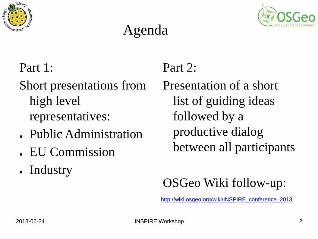
Agenda
Part 1: Short presentations from
high level representatives:
● Public Administration ● EU Commission ● Industry
Part 2: Presentation of a short
list of guiding ideas followed by a productive dialog between all participants
OSGeo Wiki follow-up:
http://wiki.osgeo.org/wiki/INSPIRE_conference_2013
2013-06-24 INSPIRE Workshop 3
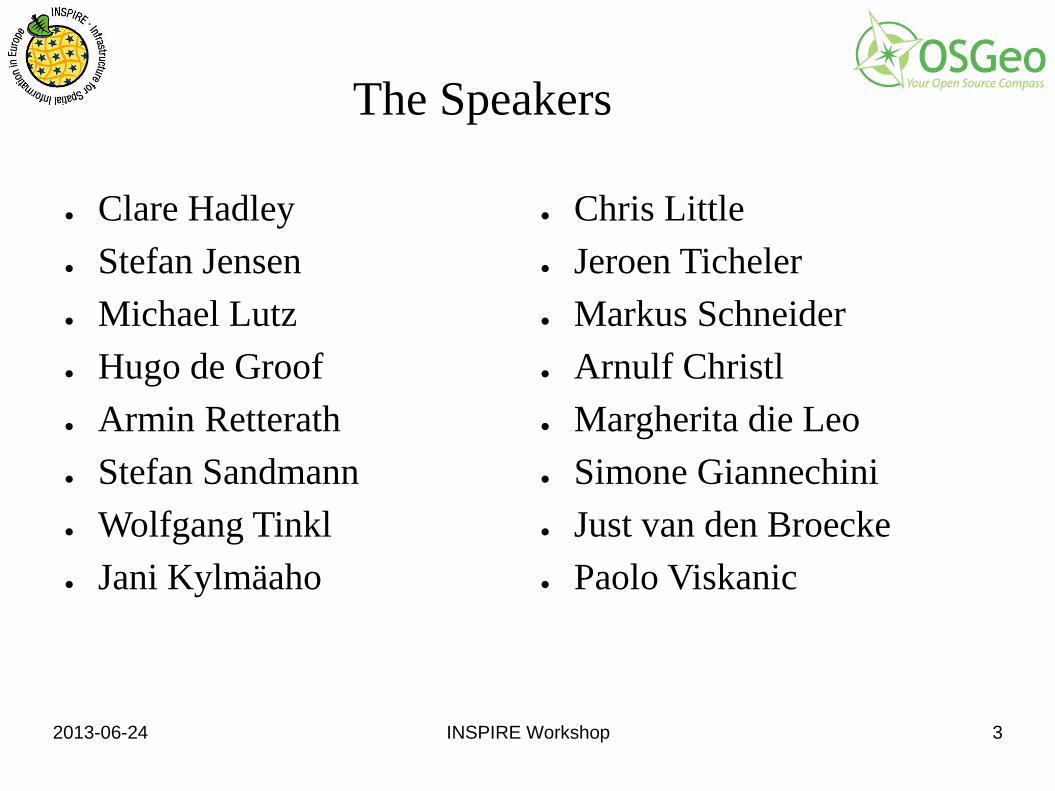
The Speakers
● Clare Hadley ● Stefan Jensen ● Michael Lutz ● Hugo de Groof ● Armin Retterath ● Stefan Sandmann ● Wolfgang Tinkl ● Jani Kylmäaho
● Chris Little ● Jeroen Ticheler ● Markus Schneider ● Arnulf Christl ● Margherita die Leo ● Simone Giannechini ● Just van den Broecke ● Paolo Viskanic
2013-06-24 INSPIRE Workshop 4
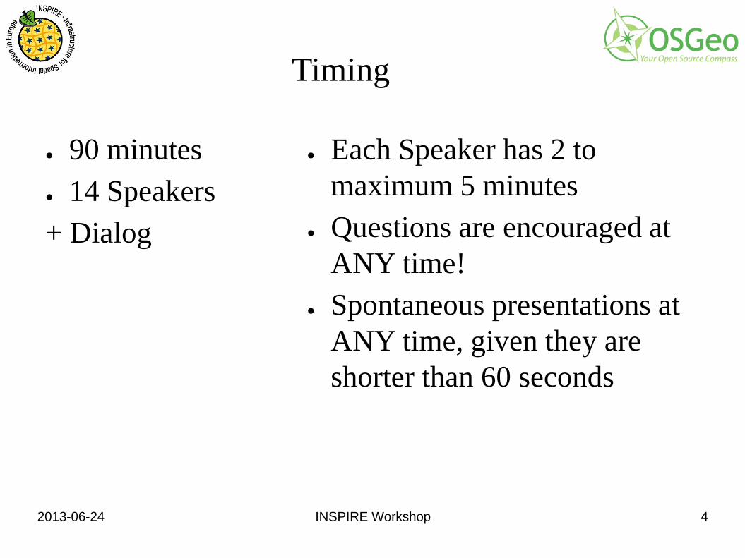
Timing
● 90 minutes ● 14 Speakers + Dialog
● Each Speaker has 2 to maximum 5 minutes
● Questions are encouraged at ANY time!
● Spontaneous presentations at ANY time, given they are shorter than 60 seconds
2013-06-24 INSPIRE Workshop 5
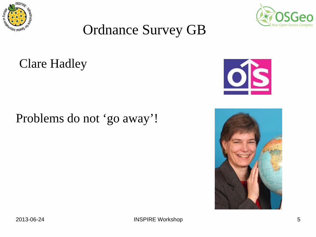
Ordnance Survey GB
Clare Hadley
Problems do not ‘go away’!
2013-06-24 INSPIRE Workshop 6
Where do I come from? What is my role?
●I work for Ordnance Survey, the national mapping agency for Great Britain. ●I am responsible for meeting our INSPIRE obligations and our contributions to the wider UK Location Programme ●I chair the UK Location Business Interoperability Working Group ●I was chair of the INSPIRE Data and Service Sharing Drafting Team
2013-06-24 INSPIRE Workshop 7
What I want or have to do
● I have to ensure that OS publishes compliant INSPIRE data and services with compliant access and licensing terms.
● I want our customers to be able to meet their own INSPIRE obligations when it includes some of our data
● I want the GI data providers in the UK deliver their services such that we have an interoperable business infrastructure across UK and wider
2013-06-24 INSPIRE Workshop 8
What are the blockers preventing me from getting it done?
●A lack of attention in INSPIRE to access control and rights management ●A lack of clear open standards to achieve this which INSPIRE could endorse to promote interoperability ●The fact the technical and legal people often speak different languages ● A belief that the problem will ‘go away’
2013-06-24 INSPIRE Workshop 9
EEA (SEIS)
Stefan Jensen
2013-06-24 INSPIRE Workshop 10
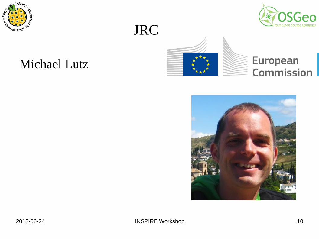
JRC
Michael Lutz
2013-06-24 INSPIRE Workshop 11
Where do I come from? What is my role?
● Involved in INSPIRE since 2008 ● Data modelling and technical contact point for
INSPIRE data specifications ● Contact point for INSPIRE maintenance and
implementation ● Involved in international standardisation (OGC,
ISO/TC 211, W3C)
2013-06-24 INSPIRE Workshop 12
What I want or have to do Coordinate maintenance and implementation process ● Coordinate with MS experts (MIG), NCPs, IC members ● Involve stakeholder experts / community
– submitting comments – providing expertise and experience – maintaining content
● Support implementation in MS – tools, software
● Maintain central infrastructure components – INSPIRE geoportal – INSPIRE registry
2013-06-24 INSPIRE Workshop 13
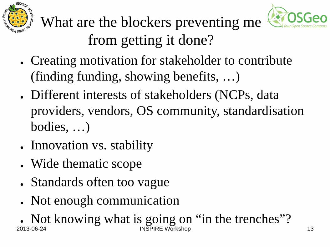
What are the blockers preventing me from getting it done?
● Creating motivation for stakeholder to contribute (finding funding, showing benefits, …)
● Different interests of stakeholders (NCPs, data providers, vendors, OS community, standardisation bodies, …)
● Innovation vs. stability ● Wide thematic scope ● Standards often too vague ● Not enough communication ● Not knowing what is going on “in the trenches”?
2013-06-24 INSPIRE Workshop 14
DG Environment
Hugo De Groof
2013-06-24 INSPIRE Workshop 15
Rhineland Palatinate, Germany
Armin Retterath ● Geoportal RLP
http://www.geoportal.rlp.de/
2013-06-24 INSPIRE Workshop 16
Bez.reg. NRW, UBA
Stefan Sandmann ● Geodatenzugangsgesetz
http://de.slideshare.net/ogd-dachli/19-sandmann-20121004-dach
2013-06-24 INSPIRE Workshop 17
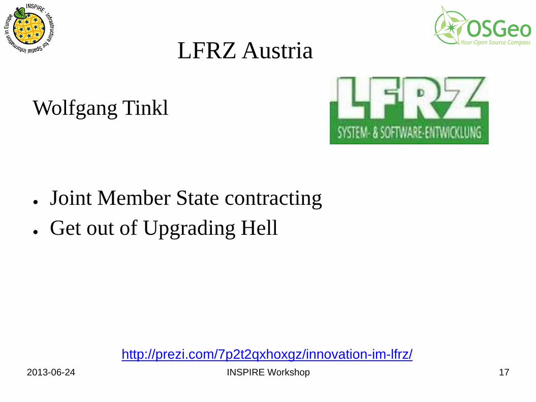
LFRZ Austria
Wolfgang Tinkl ● Joint Member State contracting ● Get out of Upgrading Hell
http://prezi.com/7p2t2qxhoxgz/innovation-im-lfrz/
2013-06-24 INSPIRE Workshop 18
Where do I come from, what is my role
● From external IT Center of Ministry for Environment
● Responsible for technical implementation NS ● Member of IOCTF Network Services
Land-, forst- und wasserwirtschaftliches Rechenzentrum GmbH LFRZ – System- & Software-Entwicklung, http://www.lfrz.at
2013-06-24 INSPIRE Workshop 19
What I want or have to do
● Use Open Source products ● Implement generic solutions for network services ● Think of solutions for data harmonization ● Minimize / optimize the costs of implementation
and maintenance ● Set up useful services that are really used
2013-06-24 INSPIRE Workshop 20
What are the blockers preventing me from getting it done
● Insufficient coordination between INSPIRE and Open Source provider / OGC
● Difficult commitments between member states when contracting together assigning a company for changes in the core of an OS Product
● The EC / JRC should take a lead role here ● We are facing problems when upgrading to a new
Version of an OS Product (merging our changes not implemented in the core)
● Functions ahead of standards have to be implemented (e.g. Multilinguality). Useful?
2013-06-24 INSPIRE Workshop 21
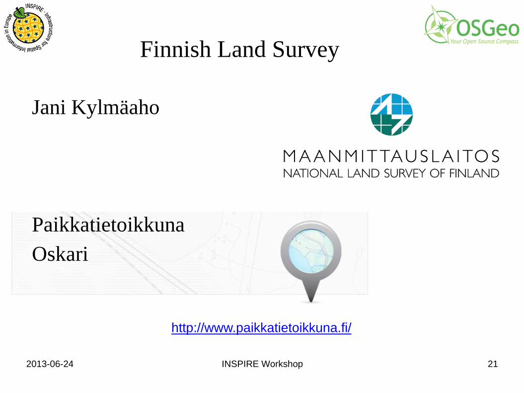
Finnish Land Survey
Jani Kylmäaho Paikkatietoikkuna Oskari
http://www.paikkatietoikkuna.fi/
2013-06-24 INSPIRE Workshop 22
What does the Industry say?
Nota bene: Liek everywhere the edges between producer and consumer are
blurring.
2013-06-24 INSPIRE Workshop 23
UK MetOffice
Chris Little ● IT Fellow - Operational Infrastructures ● UK Met Office ● Co-Chair Met Ocean DWG OGC
2013-06-24 INSPIRE Workshop 24
Where do I come from?
Chris Little Meteorology has been global for decades, if not more
than a century. Globally interoperable, real time, 4D, data exchange, but specific to meteorology and oceanography, but not hydrology or ecosystems science. Latter becoming more important for integration with mainstream meteorology and global exchange in near real-time.
2013-06-24 INSPIRE Workshop 25
Where do I come from?
Chris Little All Met Ocean data now increasingly important for effective, efficient
integration with mainstream Geospatial data. Data formats were for >50 years based on telegraphic technologies,
including compact, language independent codes tabulated and maintained in several languages. These are being transitioned to binary codes (save factor of 2!) and controlled vocabularies. The gridded data formats are GRIB and NetCDF and for point and line data BUFR and CREX.
WMO and other authoritative organisation have the bureaucracy to maintain these tables/controlled vocabularies.
Real-time disciplines have been useful to force standardization.
2013-06-24 INSPIRE Workshop 26
What I want or have to do
Chris Little ● Seamless, effective, timely exchange of geospatial
data across the above domains. ● Use Conceptual Model driven schemas to construct
desired data exchanges using on-the-fly serializations, but maintaining automatic conversions to and from Met Ocean community 'old-fashioned' formats and allowing content validation.
2013-06-24 INSPIRE Workshop 27
What I want or have to do
Chris Little ● Do not want the verbosity of XML. JSON may be good
enough. If not, would like the compact Met Ocean formats to be easier to use.
● National Met Services, and WMO, will continue to be the 'authoritative voice' for weather forecasts and climate predictions. E.g. would you evacuate 1 million people on the strength of a CNN forecast? Or invest an extra $1B in wind farms or nuclear power on the strength of one person's climate prediction ("it's not happening!")
2013-06-24 INSPIRE Workshop 28
What are the blockers
Chris Little ● OGC not being apparently as open source friendly
as I would like. ● People coercing 4D data into 2D solutions for
quick fixes e.g. putting data such as wind speed and direction, into a RGBA image pretending they are colours.
2013-06-24 INSPIRE Workshop 29
What are the blockers
Chris Little ● The architectural solution for many met ocean applications
such as visualisation still entail downloading a big 4D data cube and then slicing and dicing and transforming locally. Too much assumption that maps and images are not very volatile.
● Perception that O&M standards are too heavyweight or complex for real-time crowd sourcing of environmental data.
● Assuming English and EDT time will solve everything.
2013-06-24 INSPIRE Workshop 30
What are the blockers
Chris Little ● History of all South American activity mediated via
USA. ● Acceptance of existing library based protocols for
catalogue content and searching (OAI-PMH, ISOS23950 + SRU1.3) outside of the library communities.
2013-06-24 INSPIRE Workshop 32
Where do I come from?
● The Netherlands ● FAO ● OSGeo ● Java ● Metadata
2013-06-24 INSPIRE Workshop 33
What are my Roles?
● Director GeoCat ● OSGeo Emeritus Director ● Software Architect ● Project Lead
2013-06-24 INSPIRE Workshop 34
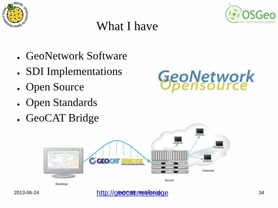
What I have
● GeoNetwork Software ● SDI Implementations ● Open Source ● Open Standards ● GeoCAT Bridge
http://geocat.net/bridge
2013-06-24 INSPIRE Workshop 35
Occam Labs
Markus Schneider
http://www.occamlabs.de/
2013-06-24 INSPIRE Workshop 36
Where do I come from?
Markus Schneider ● Germany ● Software development ● Open Source ● Open Standards ● Java
2013-06-24 INSPIRE Workshop 37
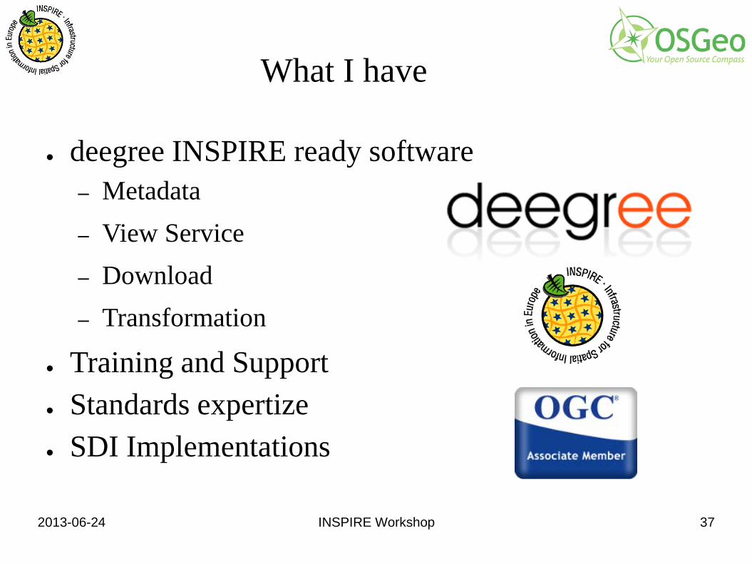
What I have
● deegree INSPIRE ready software – Metadata – View Service – Download – Transformation
● Training and Support ● Standards expertize ● SDI Implementations
2013-06-24 INSPIRE Workshop 38
metaspatial
Arnulf Christl Open Everything!
http://metaspatial.net
2013-06-24 INSPIRE Workshop 39
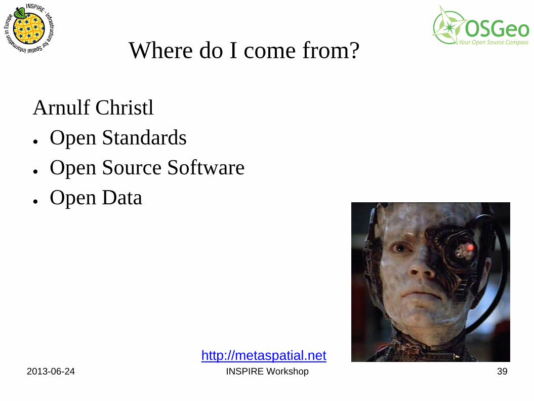
Where do I come from?
Arnulf Christl ● Open Standards ● Open Source Software ● Open Data
http://metaspatial.net
2013-06-24 INSPIRE Workshop 40
What I have
Arnulf Christl ● Know-How ● Network ● People Skills
http://metaspatial.net
}
2013-06-24 INSPIRE Workshop 41
What I want
Arnulf Christl ● Support the evolution of INSPIRE ! ● Test, Innovate and Iterate ... ● Interesting Projects ! ● Business €
http://metaspatial.net
2013-06-24 INSPIRE Workshop 42
What are the blockers preventing me from getting it done
Call for the Pool for Experts for the INSPIRE Maintenance and Implementation Framework (MIF) ... 2.6 Expenses 1. Participants in the activities of the pool of experts shall not be remunerated for the services they render. http://inspire.ec.europa.eu/index.cfm/pageid/5160

2013-06-24 INSPIRE Workshop 43
Joint Research Center
Margherita die Leo Open Everything!
http://ec.europa.eu/dgs/jrc/
2013-06-24 INSPIRE Workshop 44
What I want or have to do
Margherita die Leo ● Taking care of the European Forest Data Centre
(EFDAC) of the JRC ● I have to edit / create metadata INSPIRE compliant
http://ec.europa.eu/dgs/jrc/
2013-06-24 INSPIRE Workshop 45
What are the blockers preventing me from getting it done
Margherita die Leo ● Actually not a blocker, but I'd like to be sure that
the metadata we produce are actually INSPIRE compliant. How do I test them?
http://ec.europa.eu/dgs/jrc/
2013-06-24 INSPIRE Workshop 46
GeoSolutions IT
Simone Giannechini
http://www.geo-solutions.it/
2013-06-24 INSPIRE Workshop 47
Where do I come from? What do I do?
● My Mother ● Computer Engineering in Pisa (a nightmare, believe me...) ● Freelance Consultant ● Director at GeoSolutions ● PSC of GeoServer ● PMC of GeoTools ● PMC of GeoBatch ● Charter Member of OSGEO ● I used to be good at coding, now I talk about other’s
people code – Maybe this is a hint I was not THAT good…
2013-06-24 INSPIRE Workshop 48
GeoSolutions
● Founded in Italy in late 2006 ● Expertise
– Image Processing, GeoSpatial Data Fusion – Java, Java Enterprise, C++, Python – JPEG2000, JPIP, Advanced 2D visualization
● Supporting/Developing FOSS4G projects – GeoTools, GeoServer, MapStore – GeoBatch, GeoNetwork, ImageIO-Ext
● Clients – Large NGOs, Public Administrations – Private Companies
2013-06-24 INSPIRE Workshop 49
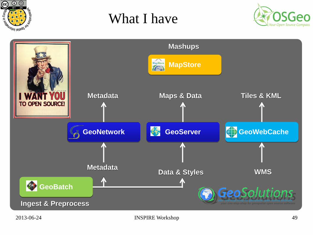
GeoWebCache GeoServer
GeoBatch
GeoNetwork
MapStore
Ingest & Preprocess
Metadata Maps & Data Tiles & KML
Mashups
Data & Styles WMS Metadata
What I have
2013-06-24 INSPIRE Workshop 50
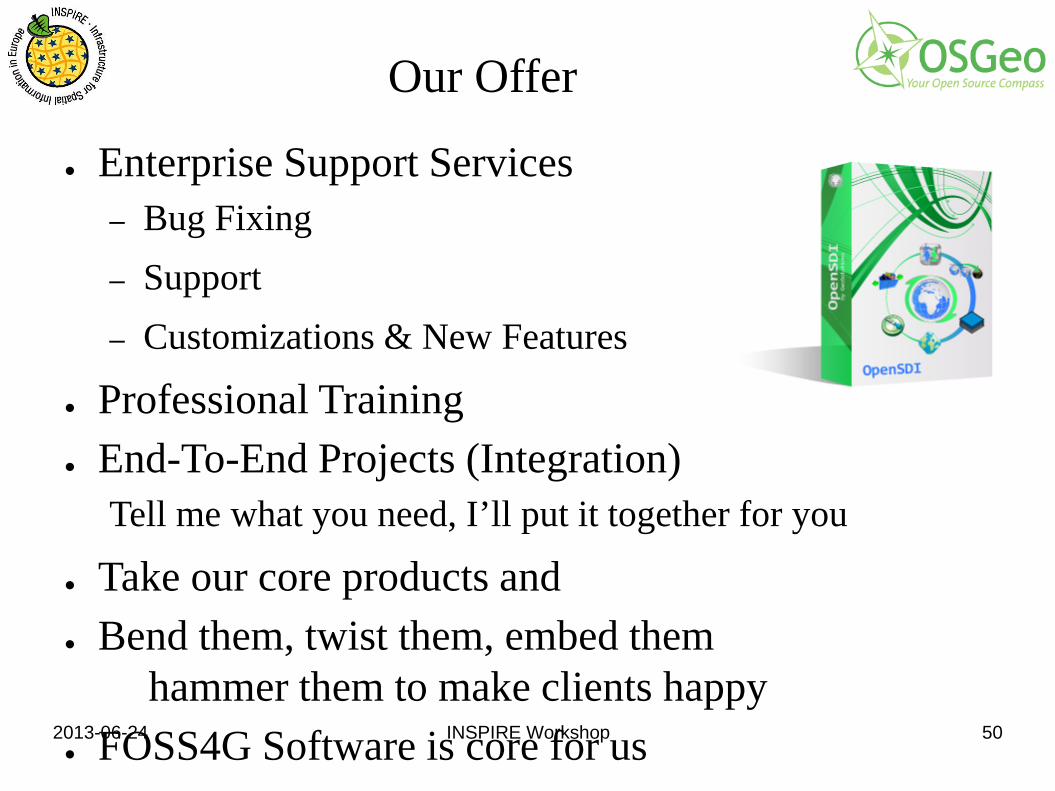
Our Offer
● Enterprise Support Services – Bug Fixing – Support – Customizations & New Features
● Professional Training ● End-To-End Projects (Integration)
Tell me what you need, I’ll put it together for you
● Take our core products and ● Bend them, twist them, embed them
hammer them to make clients happy ● FOSS4G Software is core for us
2013-06-24 INSPIRE Workshop 51
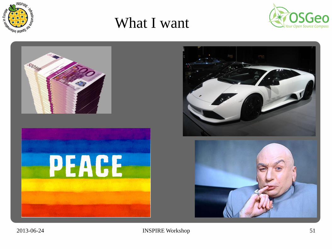
What I want

2013-06-24 INSPIRE Workshop 52
JustObjects.nl
Just van den Broecke Just Objects
http://www.justobjects.nl/
2013-06-24 INSPIRE Workshop 53
Where do I come from?
● Geospatial ● Scripting and ETL ● Open Source and Standards
2013-06-24 INSPIRE Workshop 54
What are my Roles?
● OSGeo Netherlands Lead ● Software Developer ● Entrepreneur ● Doer
http://de.slideshare.net/justb4/introducing-osgeonl-the-dutch
2013-06-24 INSPIRE Workshop 55
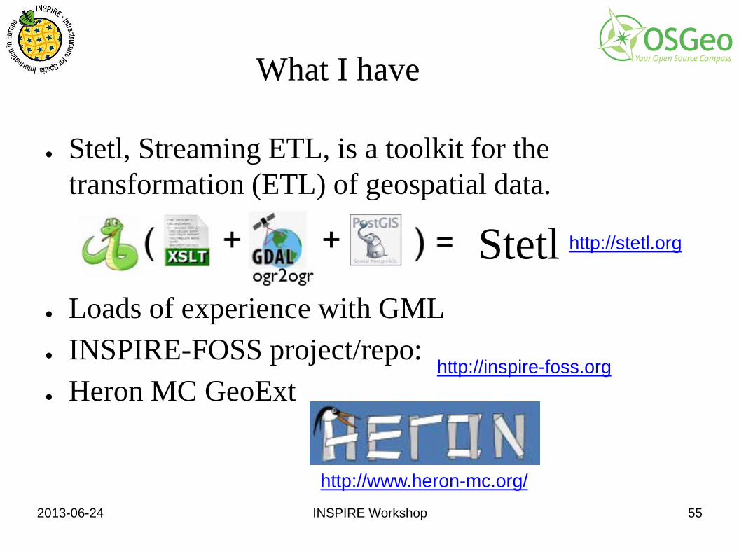
Stetl
What I have
● Stetl, Streaming ETL, is a toolkit for the transformation (ETL) of geospatial data.
● Loads of experience with GML ● INSPIRE-FOSS project/repo: ● Heron MC GeoExt
http://stetl.org
http://www.heron-mc.org/
http://inspire-foss.org
2013-06-24 INSPIRE Workshop 57
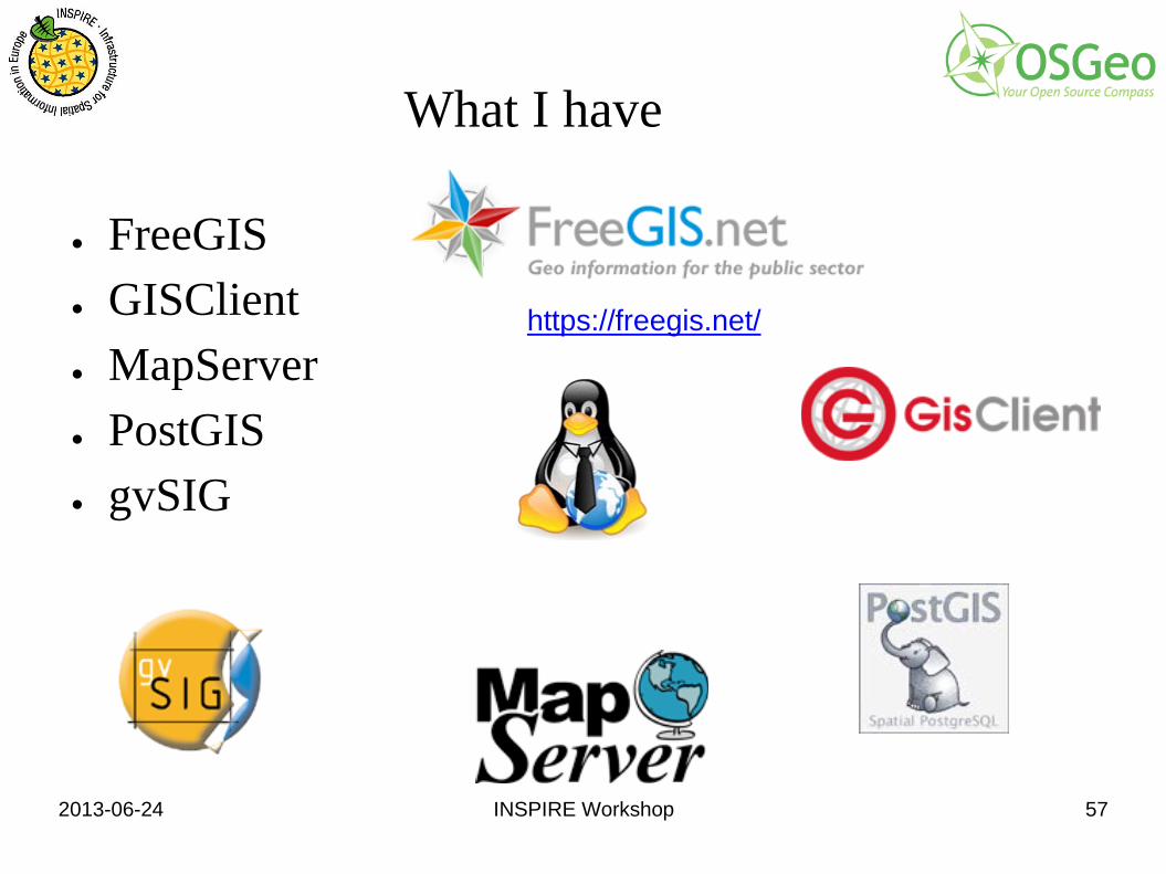
What I have
● FreeGIS ● GISClient ● MapServer ● PostGIS ● gvSIG
https://freegis.net/
2013-06-24 INSPIRE Workshop 58
Our experience with INSPIRE
● The FreeGIS.net project allowed us to study and implement new technologies to meet INSPIRErequirements
● Through the participation to conferences and OGC we met new partners and created a network to meetchanging requirements of market
● However all this was possible because of the use of open technologies. Through Free and Open Source software we are actors in the application of INSPIRE and not spectators
2013-06-24 INSPIRE Workshop 59
Our experience with INSPIRE
● We re-engineered our products to use the same stack of applications as the FreeGIS.net reference implementation
● We implemented INSPIRE policies in our application (e.g. management of urban green areas)
● We proposed and implemented SDI based on this technology in many municipalities, provinces and regions in Italy and Austria
● We are constantly extending the stack of applications of the FreeGIS.net project: e.g. mobile offline client
2013-06-24 INSPIRE Workshop 60
Our experience with INSPIRE
● INSPIRE enables "interoperability" ● Interoperability opens new opportunities ● INSPIRE opens new market opportunities ● Through FreeGIS.net we have tried to lower the
entry barrier for small administrations to implement INSPIRE compliant services
● However we miss consciousness about INSPIRE in the local Administrations in Italy and in Austria (our two main markets)
2013-06-24 INSPIRE Workshop 61
Part 2 – Dialog
Now it is time for a dialog. ● Ask questions ● Exchange ideas ● Follow-up
2013-06-24 INSPIRE Workshop 62
Guiding Ideas for the Dialog
● Maturity of the standards ● Maturity of the software ● Maturity and correctness of the data ● Implementability of the INSPIRE directive ● Degrees of freedom in the implementation ● Complexity of INSPIRE technical guidance and OGC
standards ● INSPIRE implementing rules, international and national
standards ● Communication channels between OSGeo and INSPIRE ● How to contribute to INSPIRE Maintenance
(Presentation by Vanda Nunes de Lima)
2013-06-24 INSPIRE Workshop 63
Thank You
Organized by: ● Arnulf Christl, metaspatial, @sevenspatial ● Margherita Di Leo ● and many other OSGeo members