presentation - commissioners court march 12, 2012
DESCRIPTION
Presentation - commissioners court March 12, 2012TRANSCRIPT

Using GIS to Meet
Community and Business
Needs
Zapata County Commissioner’s Court Meeting
March 12, 2012
EDA Project #08-86-04723

What is GIS?

Geographic + Information + Systems

What can
we do
with GIS?

make maps!
Land Use Plan
A good GIS program is able to process geographic data from a variety of sources and add it to a map.

Where are the street lights that need maintenance?
Where are the environmentally sensitive areas?
Where are the public boat ramps?
Where are the doctors and clinics located?
Where are the walking trails / parks located?
How many eligible voters are in each Precinct?

Many ways to use GIS in the real-world!
Business
Local Government Environment
Economic Development

GIS is for:
Mapping
Decision Making
Planning our future
Use it every day!

information is organized into layers
Rivers Cities
Lakes Roads

Zapata and San Ygnacio Zoning Maps

Maintain Street Lights

Zapata Arroyos
Water Resources Oil / Gas , Saltwater Injection Wells & Gas Lines

Industry Diversification
Retail Sales Gap $93.5 Million
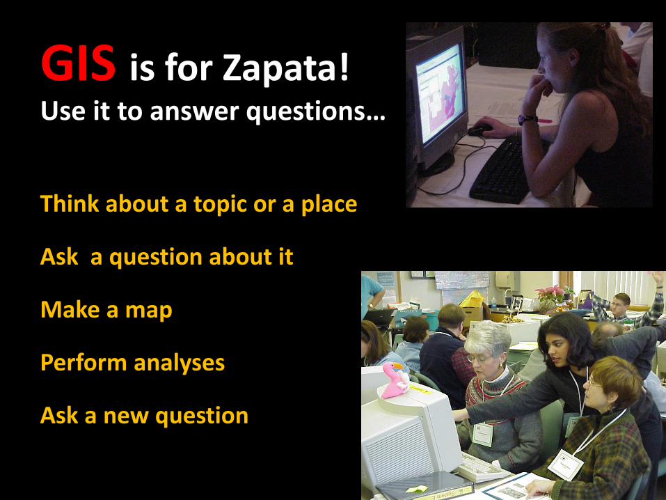
GIS is for Zapata! Use it to answer questions…
Think about a topic or a place
Ask a question about it
Make a map
Perform analyses
Ask a new question

Contact Information 1301 N US Hwy 83
(Located at corner of Hwy 83/
FM 496)
Zapata, TX 78076
(956) 765-1113
www.zapatacountyedc.org
Peggy Umphres Moffett President
Chief Executive Officer [email protected]
Maricia Pérez Rodriguez Analyst/Chief Administrative Officer
Victor J. Gonzalez GIS Administrator/Chief Operating Officer