salisbury university: eric flint, john o’brien, & alex nohe · no quick start guide ......
TRANSCRIPT

Salisbury University: Eric Flint, John O’Brien, & Alex Nohe
Open Source (Public) Geographic Information System GNU General Public License
▪ Guarantees public’s ability to download, modify and share software on this site
Free and Open Source Software (FOSS) Movement Consortium of technically adept people who believe
that software/code should be publically accessible and free
Quantum has greatly benefited from this movement as an alternative to commercial software

Open Source Geospatial Foundation (OSGeo)
Organization whose goal is to build collaborative open source geospatial software and promote its widespread use
Products stored on publically repositories like github.com / bitbucket.org
Quantum has benefited from this effort
Created in 2002 by Gary Sherman Based on GRASS model developed by the US
Army in the 1960’s
Was not satisfied with available commercial GIS products
Cross Platform Cross Platform allows wide range of users ▪ Inoperability with LINUX, Mac and PC operating
systems
▪ Also an App for Android Users
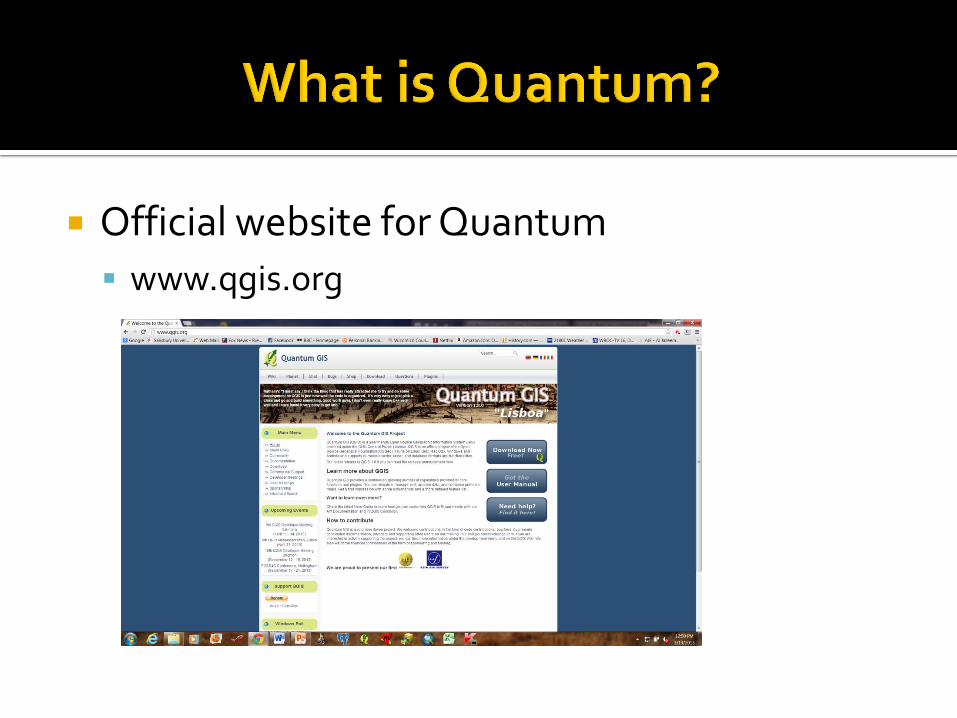
Official website for Quantum
www.qgis.org
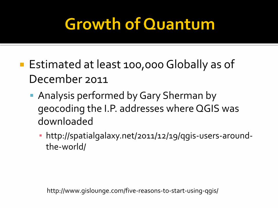
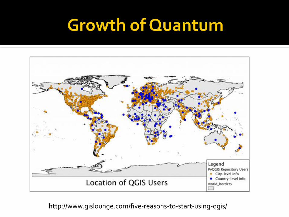
Estimated at least 100,000 Globally as of December 2011
Analysis performed by Gary Sherman by geocoding the I.P. addresses where QGIS was downloaded
▪ http://spatialgalaxy.net/2011/12/19/qgis-users-around-the-world/
http://www.gislounge.com/five-reasons-to-start-using-qgis/
http://www.gislounge.com/five-reasons-to-start-using-qgis/

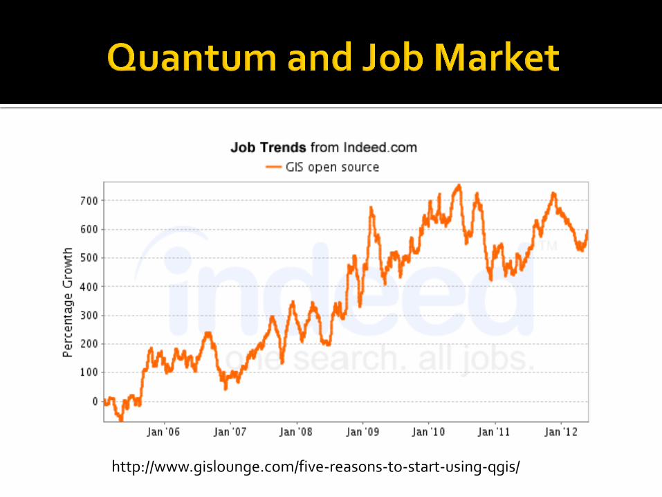
The request for at least familiarity with open source GIS is growing as a desired skill on many GIS job listings
A survey by Eric Pimpler of GeoChalkboard last year on GIS jobs found that 14% of respondents listed open source GIS software as at least a secondary software used in their jobs
http://www.gislounge.com/five-reasons-to-start-using-qgis/
http://www.gislounge.com/five-reasons-to-start-using-qgis/
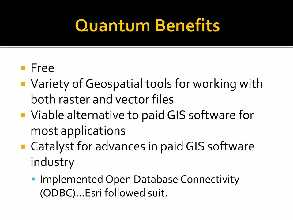
Free Variety of Geospatial tools for working with
both raster and vector files Viable alternative to paid GIS software for
most applications Catalyst for advances in paid GIS software
industry
Implemented Open Database Connectivity (ODBC)…Esri followed suit.

Bug Reporter on the Wiki
Easy to use website on their hub.qgis.org page to report problems with quantum
Support via forum
Overnight Build for fixes to problems
Open Street Map (OSM) Downloads Plays well with Esri GIS software
Esri Shapefiles
Personal Geodatabases (Not File Geodatabases)

Free You get what you pay for
Limited published reference material No quick start guide
Support via forum No Tech support to call
Not for the un-initiated You have to know and understand basic GIS
operational concepts to function well in Quantum
You should be a tinkerer
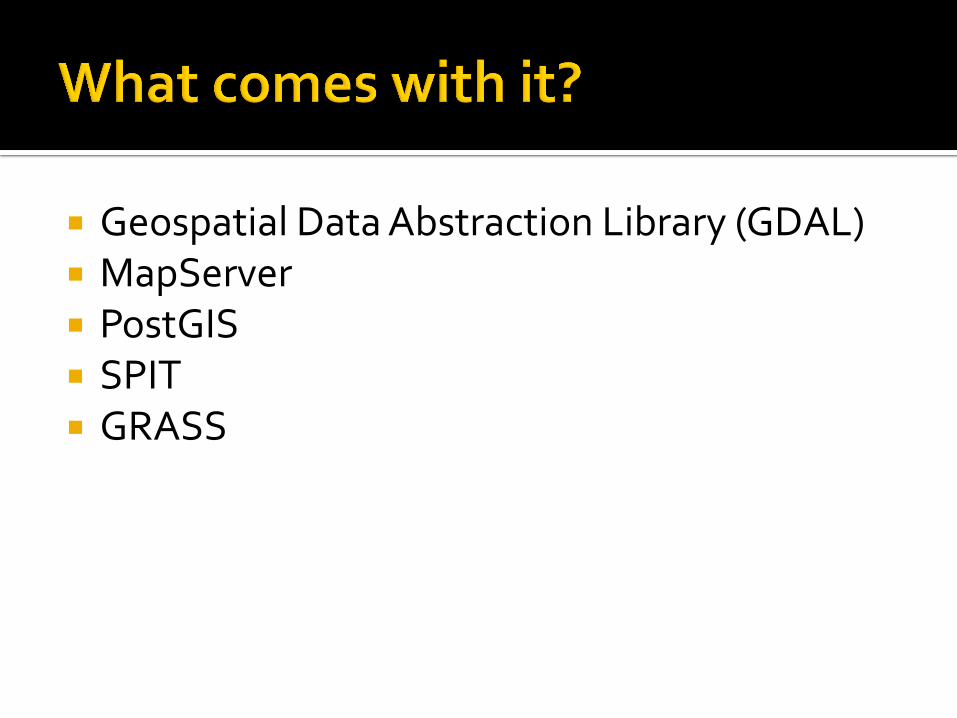
Geospatial Data Abstraction Library (GDAL) MapServer PostGIS SPIT GRASS

Core and External C++ or Python Data Provider Plugins Spatial Query Open Street Map (OSM) Web Mapping Services

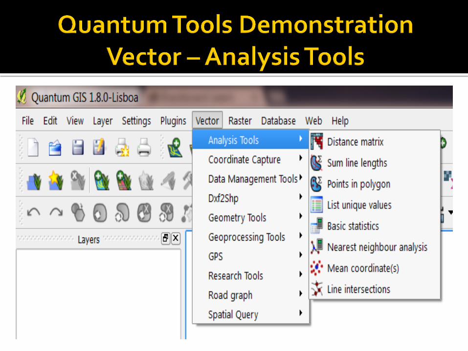
Quantum offers a variety of Geospatial tools for working with both Vector and Raster Data

Multiple Tools for working with Vector Layers

Import Vector files into Layers

At the end of the process the intersection points will show on layer
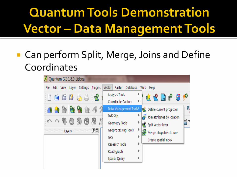
Can perform Split, Merge, Joins and Define Coordinates

Multiple Tools for processing Geometry

Random Points in Layer
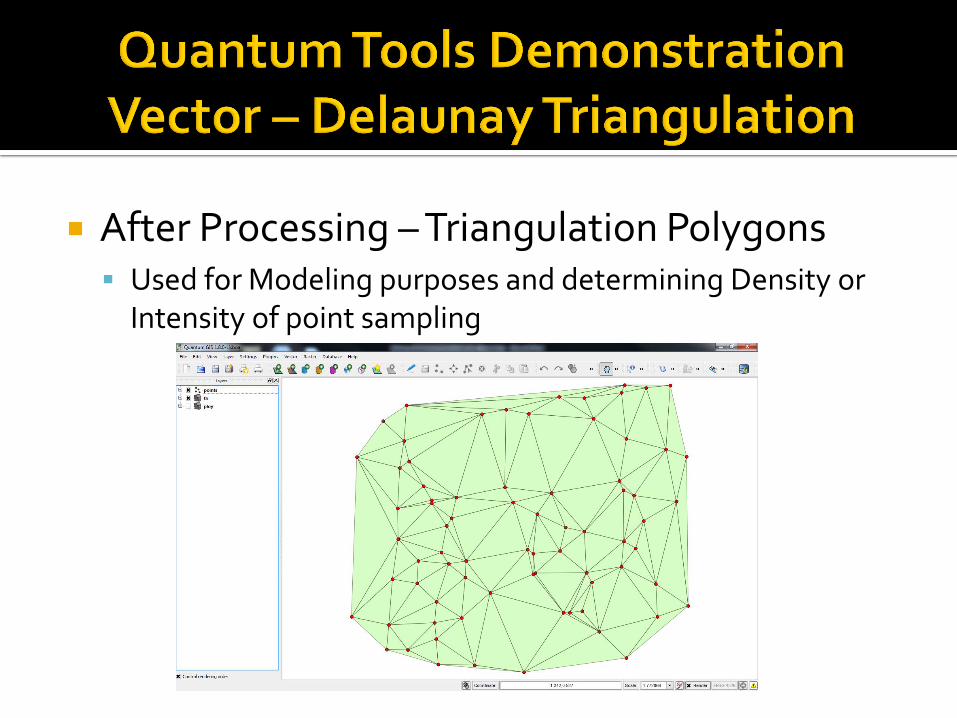
After Processing – Triangulation Polygons Used for Modeling purposes and determining Density or
Intensity of point sampling
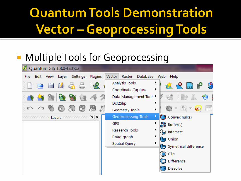
Multiple Tools for Geoprocessing

Select area to be “Clipped” using polygon overlay
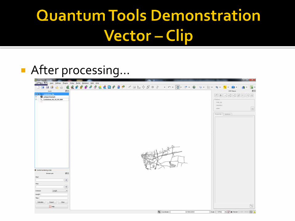
After processing…

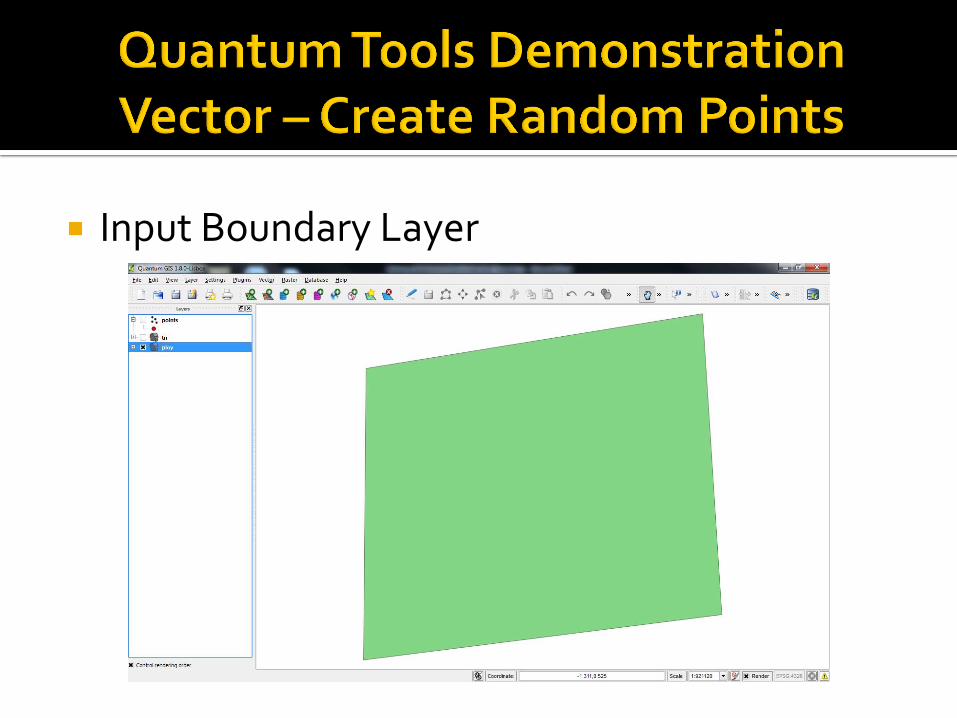
Input Boundary Layer
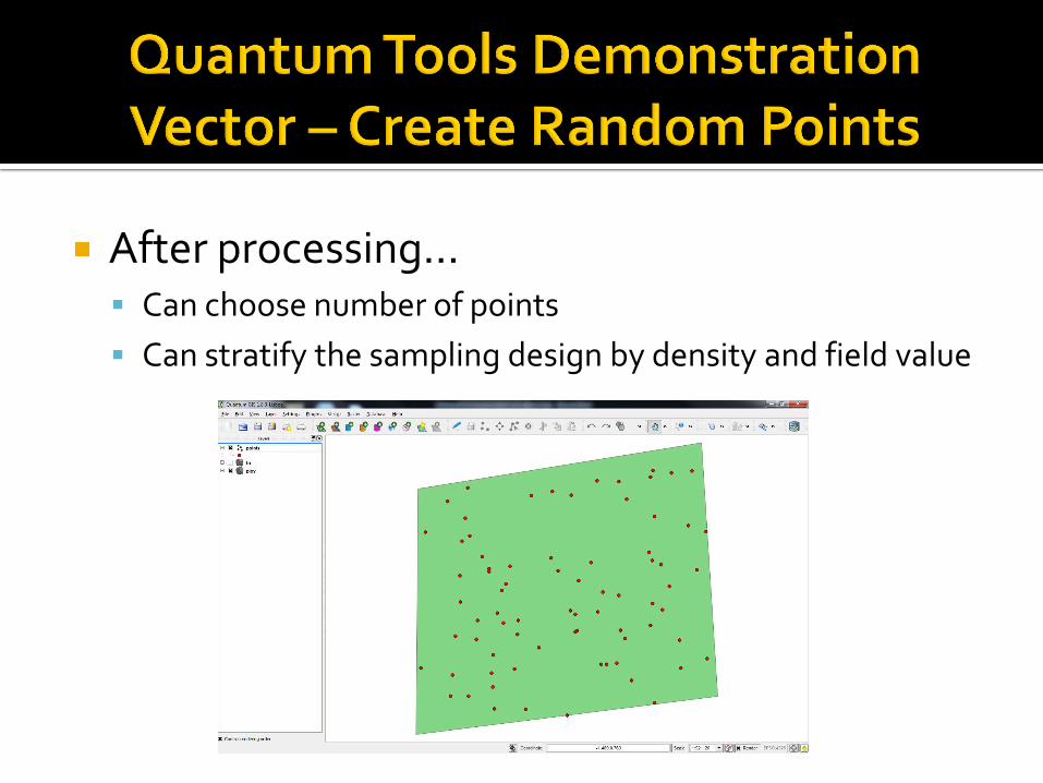
After processing… Can choose number of points
Can stratify the sampling design by density and field value

Input Layer
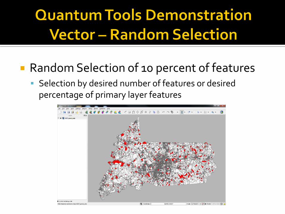
Random Selection of 10 percent of features Selection by desired number of features or desired
percentage of primary layer features
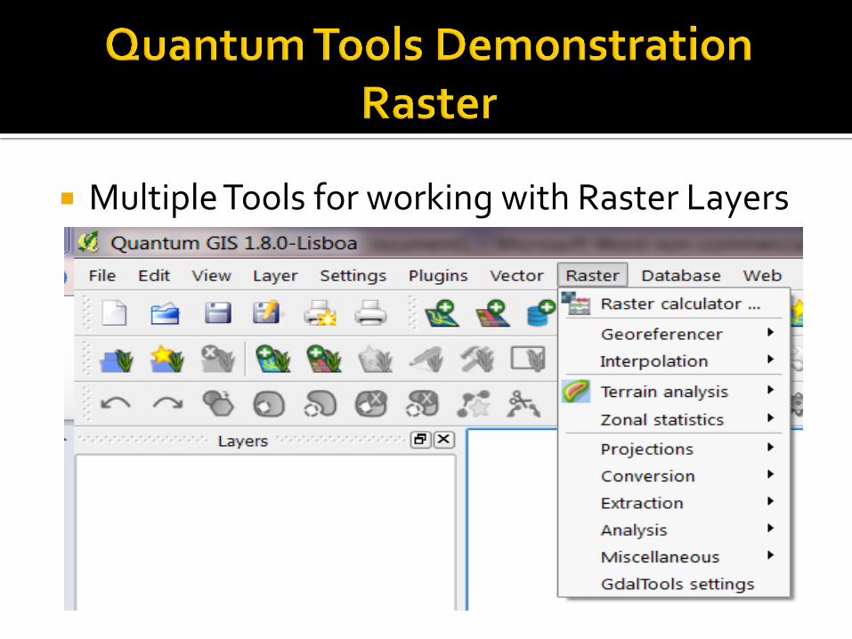
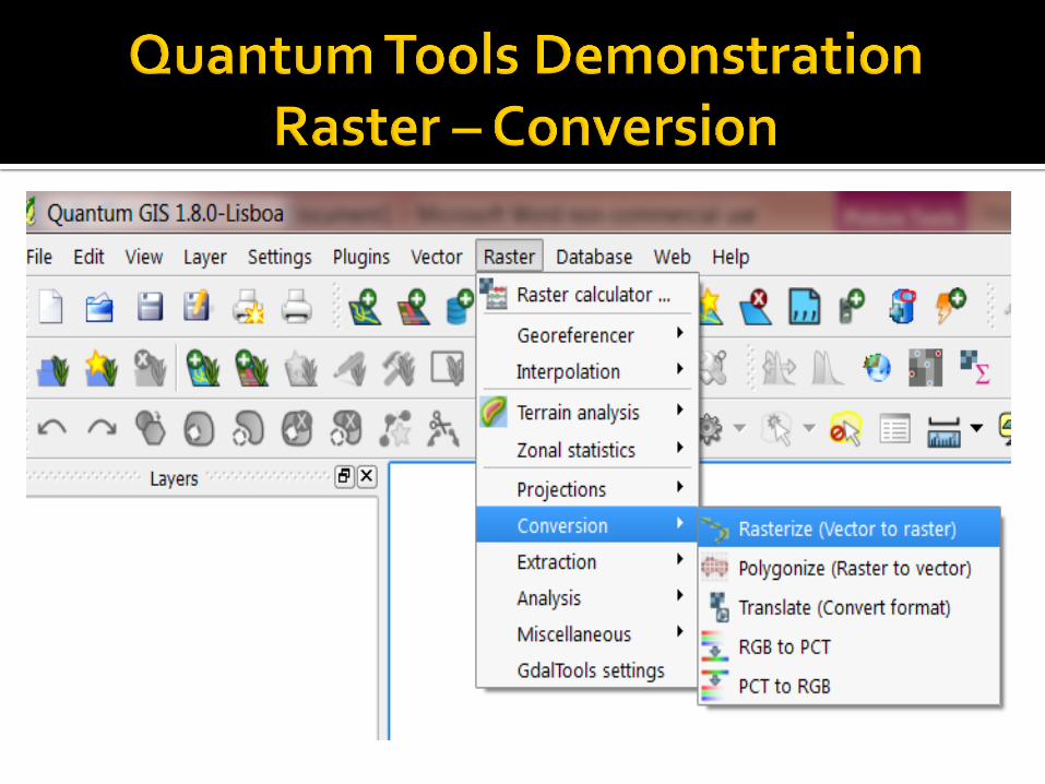
Multiple Tools for working with Raster Layers

Polygonize (Raster to Vector)

Polygonize After Processing…

Contour Input Raster
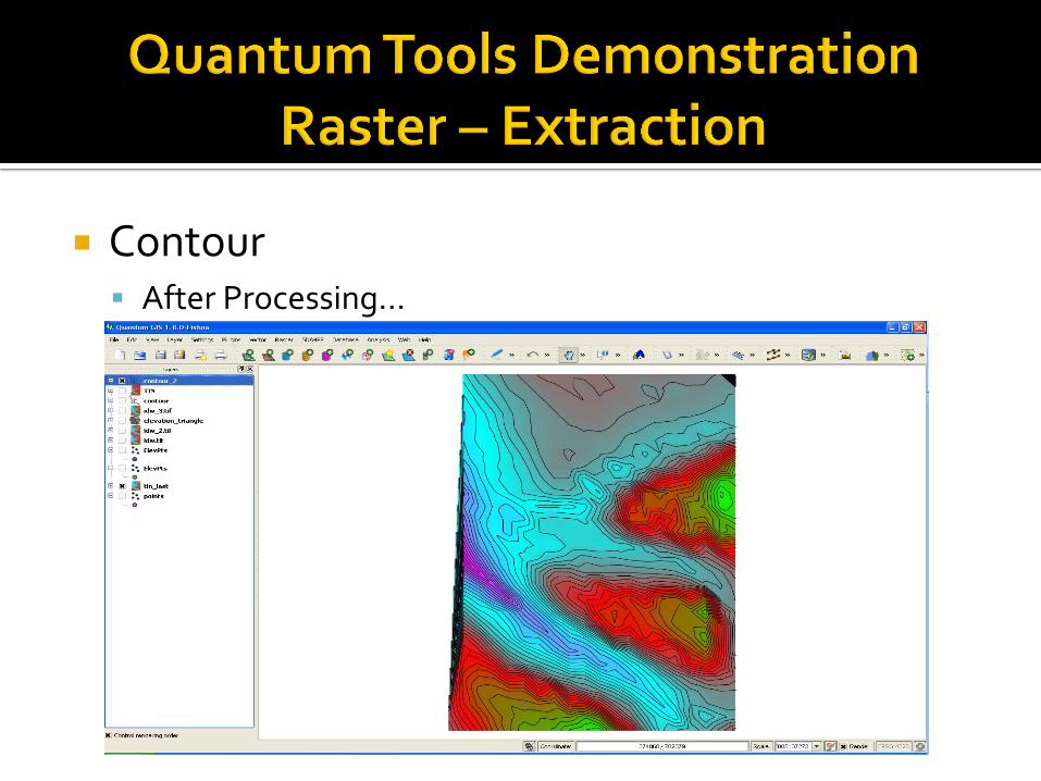
Contour After Processing…

Where:
Salisbury University,
Salisbury, Maryland
When:
Details are being put together
Expect classes in June.

What:
One week training
Introduction to QGIS (2 days)
Python scripting in pyQGIS (2 days)
Enterprise GIS with Open Source Software (1 day)
Point of Contact:
Dr. Arthur J Lembo
Explanation of Interface Working with Data
▪ Connecting to Postgres
▪ Concurrent multiple user editing
QPy
Richland, South Carolina
In 1997 Lindau Chemical experienced an explosion in its Columbia plant
Although no chemicals were released it raised concerns regarding the possible effects of ammonia release from this plant among the city leaders and local populace.
We want to determine how many schools could be impacted and how many people would need to be evacuated if a ammonia release occurred at this plant.

Any Questions?
Thank you for attending this workshop!