gis support for water resource management in the tecate, california and tecate, baja california...
Post on 21-Dec-2015
215 views
TRANSCRIPT
GIS Support For Water GIS Support For Water Resource Management in the Resource Management in the
Tecate, California and Tecate, California and Tecate, Baja California Tecate, Baja California Section of the United Section of the United States – Mexico BorderStates – Mexico Border
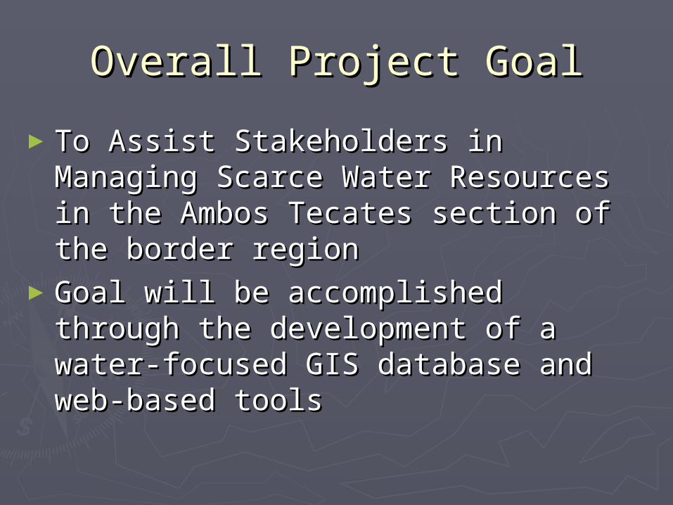
Overall Project GoalOverall Project Goal
►To Assist Stakeholders in To Assist Stakeholders in Managing Scarce Water Resources Managing Scarce Water Resources in the Ambos Tecates section of in the Ambos Tecates section of the border regionthe border region
►Goal will be accomplished Goal will be accomplished through the development of a through the development of a water-focused GIS database and water-focused GIS database and web-based toolsweb-based tools

U.S. – Mexico BorderU.S. – Mexico Border
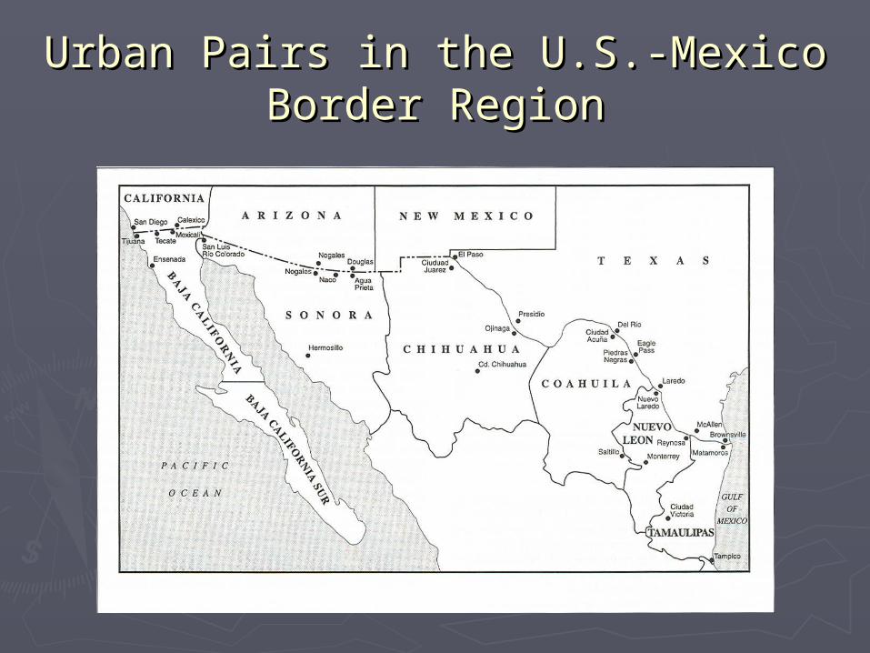
Urban Pairs in the U.S.-Mexico Urban Pairs in the U.S.-Mexico Border RegionBorder Region

Tijuana River WatershedTijuana River Watershed

Ambos Tecates Ambos Tecates in the Tijuana River Watershedin the Tijuana River Watershed

Ambos Tecates Project Ambos Tecates Project AreaArea
Population: Tecate, MX – 78,000 in 2000Tecate, US – >200 (2,000 in larger area)
Border Crossings: 2.7 Million in 200257 Million in S.D. – B.C.(only 5% of S.D. – B.C total)
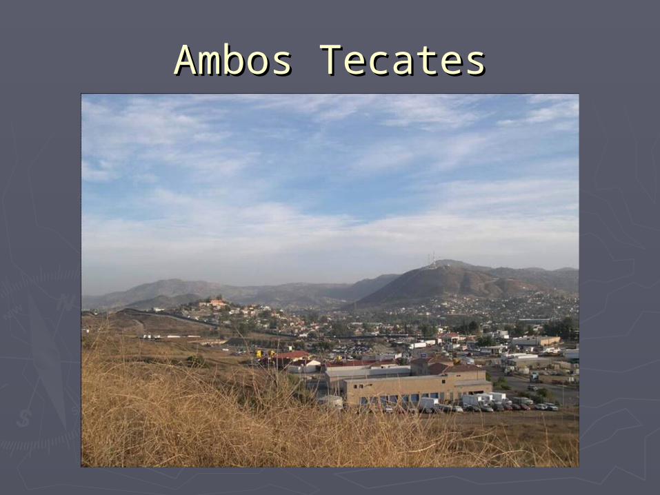
Ambos TecatesAmbos Tecates
Ambos TecatesAmbos Tecates
►An inadequate GIS infrastructure An inadequate GIS infrastructure for supporting government for supporting government decision-making is a decision-making is a characteristic shared by most characteristic shared by most urban pairs along the United urban pairs along the United States – Mexico borderStates – Mexico border

Relation to Recent Existing Relation to Recent Existing Projects/ProgramsProjects/Programs
►Tijuana River Watershed Binational Tijuana River Watershed Binational VisionVision
►Tres CaliforniasTres Californias►Integrated U.S.-Mexico Geographic Integrated U.S.-Mexico Geographic Information System for Transboundary Information System for Transboundary Watershed ManagementWatershed Management
►Identification and Mapping of Identification and Mapping of Potential Ground Water Contamination Potential Ground Water Contamination Sources in Urban Tecate, MexicoSources in Urban Tecate, Mexico
Tijuana River Watershed Bi-Tijuana River Watershed Bi-national Visionnational Vision
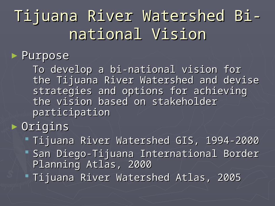
►PurposePurposeTo develop a bi-national vision for To develop a bi-national vision for the Tijuana River Watershed and devise the Tijuana River Watershed and devise strategies and options for achieving strategies and options for achieving the vision based on stakeholder the vision based on stakeholder participationparticipation
►OriginsOrigins Tijuana River Watershed GIS, 1994-2000Tijuana River Watershed GIS, 1994-2000 San Diego-Tijuana International Border San Diego-Tijuana International Border Planning Atlas, 2000Planning Atlas, 2000
Tijuana River Watershed Atlas, 2005Tijuana River Watershed Atlas, 2005
Integrated U.S.– Mexico Integrated U.S.– Mexico Geographic Information System Geographic Information System for Trans-boundary Watershed for Trans-boundary Watershed
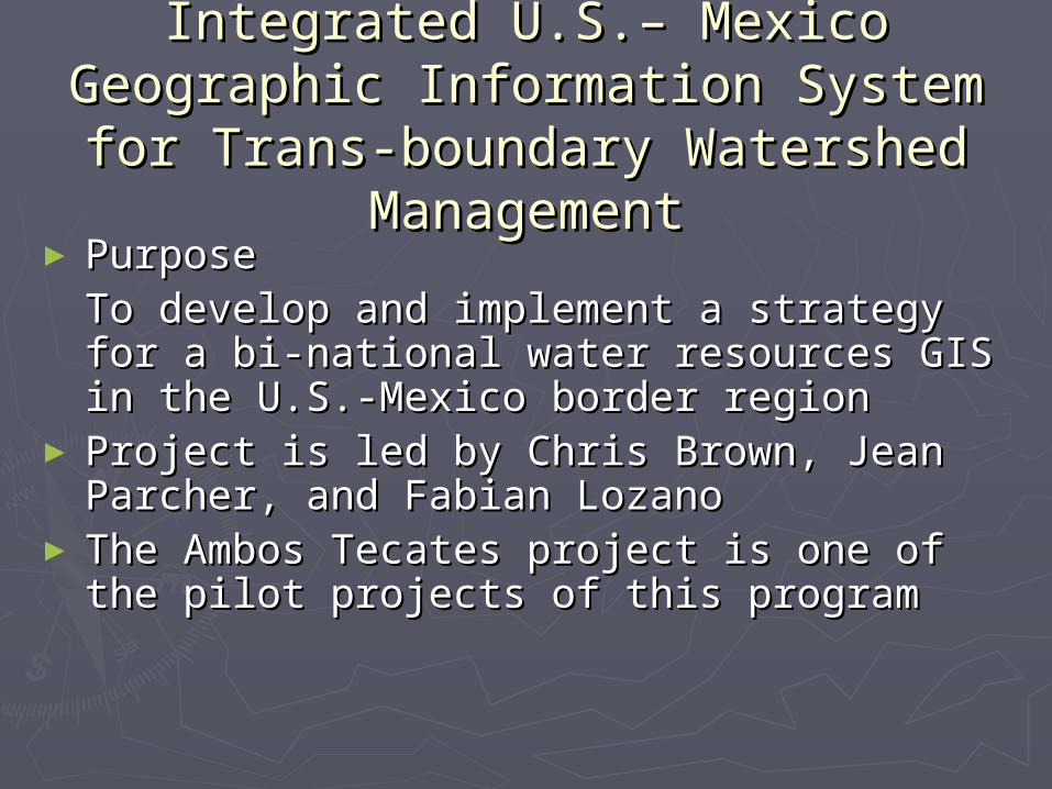
ManagementManagement► PurposePurposeTo develop and implement a strategy To develop and implement a strategy for a bi-national water resources GIS for a bi-national water resources GIS in the U.S.-Mexico border regionin the U.S.-Mexico border region
► Project is led by Chris Brown, Jean Project is led by Chris Brown, Jean Parcher, and Fabian LozanoParcher, and Fabian Lozano
► The Ambos Tecates project is one of The Ambos Tecates project is one of the pilot projects of this programthe pilot projects of this program

Tres CaliforniasTres Californias► PurposePurpose
To increase university and stakeholder cooperation, To increase university and stakeholder cooperation, technology transfer, and the enhancement of local and technology transfer, and the enhancement of local and regional planning regional planning
► Anticipated ResultsAnticipated ResultsCollection of new data, increased access to existing data, Collection of new data, increased access to existing data, improved ability to create maps, and better tools to improved ability to create maps, and better tools to analyze spatial and tabular dataanalyze spatial and tabular data
► Geographic FocusGeographic FocusTwo southernmost counties of California, Baja California, Two southernmost counties of California, Baja California, and Baja California Surand Baja California Sur
► Targeted UsersTargeted UsersState and municipal government planners and decision State and municipal government planners and decision makersmakers
► University PartnersUniversity Partners San Diego State UniversitySan Diego State University The Autonomous University of Baja California, Ensenada The Autonomous University of Baja California, Ensenada The Autonomous University of Baja California SurThe Autonomous University of Baja California Sur

Identification and Mapping of Identification and Mapping of Potential Ground Water Potential Ground Water
Contamination Sources in Urban Contamination Sources in Urban Tecate, MexicoTecate, Mexico
►PurposesPurposes To create a GIS data storage and To create a GIS data storage and analysis tool for water resources analysis tool for water resources in Tecate, Baja California, Mexico in Tecate, Baja California, Mexico
Inventory Possible groundwater Inventory Possible groundwater contamination sourcescontamination sources
Provide GIS training to employees Provide GIS training to employees of the State Commission in Tecate of the State Commission in Tecate and the Tecate Municipal Planning and the Tecate Municipal Planning DepartmentDepartment
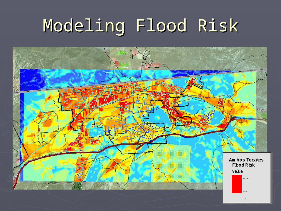
Modeling Flood RiskModeling Flood Risk
Ambos TecatesFlood RiskValue
High : 100
Low : 2
clip_border
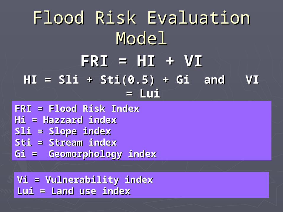
Flood Risk Evaluation Flood Risk Evaluation ModelModel
FRI = HI + VIFRI = HI + VIHI = Sli + Sti(0.5) + Gi and VI HI = Sli + Sti(0.5) + Gi and VI
= Lui = Lui
Vi = Vulnerability indexVi = Vulnerability indexLui = Land use indexLui = Land use index
FRI = Flood Risk IndexFRI = Flood Risk IndexHi = Hazzard indexHi = Hazzard indexSli = Slope indexSli = Slope indexSti = Stream indexSti = Stream indexGi = Geomorphology indexGi = Geomorphology index
COMPONENTS OF THE AMBOS COMPONENTS OF THE AMBOS TECATES WEBSITE TECATES WEBSITE

Ambos Tecates – Internet Web PageAmbos Tecates – Internet Web Page

Ambos Tecates – Project OverviewAmbos Tecates – Project Overview

Ambos Tecates – Introduction to IMSAmbos Tecates – Introduction to IMS
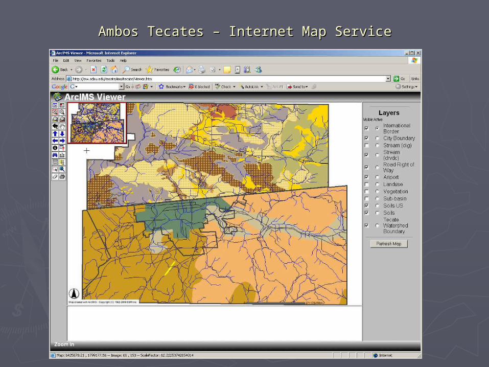
Ambos Tecates – Internet Map ServiceAmbos Tecates – Internet Map Service

Ambos Tecates – MetadataAmbos Tecates – Metadata
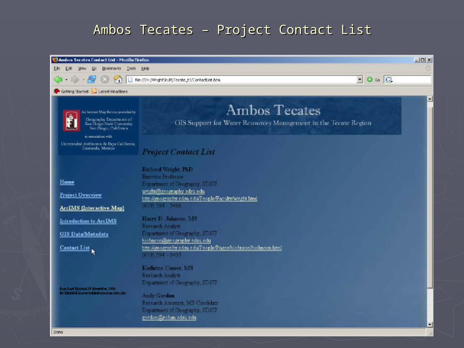
Ambos Tecates – Project Contact ListAmbos Tecates – Project Contact List
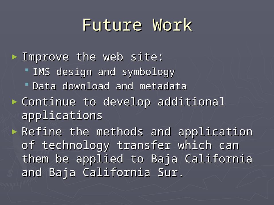
Future WorkFuture Work
►Improve the web site:Improve the web site: IMS design and symbologyIMS design and symbology Data download and metadataData download and metadata
►Continue to develop additional Continue to develop additional applicationsapplications
►Refine the methods and application Refine the methods and application of technology transfer which can of technology transfer which can them be applied to Baja California them be applied to Baja California and Baja California Sur.and Baja California Sur.