interstate 79 longwall mining - dep.state.pa.us · interstate 79 longwall mining. pennsylvania...
TRANSCRIPT

Interstate 79Interstate 79Longwall MiningLongwall Mining
Pennsylvania Department of Environmental ProtectionPennsylvania Department of Environmental ProtectionBureau of Mining and ReclamationBureau of Mining and Reclamation
20042004

Why Do the Why Do the Pa Department of Pa Department of
Environmental Protection Environmental Protection and PENNDOT and PENNDOT
Allow Longwall Mining Allow Longwall Mining Beneath State Highways?Beneath State Highways?

STATE MINING COMMISSION ACTSTATE MINING COMMISSION ACT
Approved June 1, 1933

The State Mining Commission Act:The State Mining Commission Act:In 1933, the Pennsylvania General Assembly enacted
Act 296 providing for the creation of State mining commissions. Under the Act, a Commonwealth agency or coal owner may request a commission to be convened whenever there is a need to resolve support requirements beneath a state highway. The commission has the power to determine if coal support must be provided and the amount the Commonwealth must pay the coal owner for leaving coal support in place. A commission’s decision to require coal support is authorized only in cases where the cost of purchasing coal support is less than the cost of repairing the anticipated damage and in cases where the subsidence will result in loss of life or personal injury to persons properly using the highway.
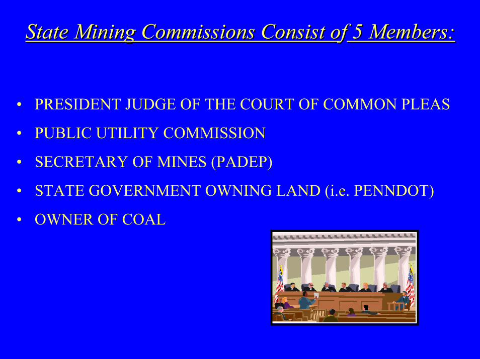
State Mining Commissions Consist oState Mining Commissions Consist off 5 Members:5 Members:
• PRESIDENT JUDGE OF THE COURT OF COMMON PLEAS
• PUBLIC UTILITY COMMISSION
• SECRETARY OF MINES (PADEP)
• STATE GOVERNMENT OWNING LAND (i.e. PENNDOT)
• OWNER OF COAL

Determinations of the State Determinations of the State Mining Commission on the Mining Commission on the
Removal of Coal Underneath Removal of Coal Underneath Interstate 79Interstate 79

• PENNDOT had an opportunity to leave a certain portion of the underlying coal in place for vertical and lateral support of the proposed highway.
• The corporations that owned the Mineral and Support Rights had future plans to mine the coal from these same properties.
• The coal owners petitioned the Court of Common Pleas to convene a State Mining Commission to determine, authorize, and direct what underlying and adjacent coal if any, was to be left unmined and in place for the purpose of providing vertical and lateral support of the proposed highway.

State mining commissions were convened in 1971 and 1973, respectively, to determine if any of the coal reserves were to remain in place to provide support for Interstate 79. In both cases, the commissions decided to waive support requirements based on the following considerations:
• The thickness of the overburden, which ranges from 368 to 640 feet.
• The determination that the cost of repairing and replacing the damaged road and structures would be less than the cost of purchasing coal support.
• The determination that the mining of the coal would not result in the loss of life or personal injury to persons properly using the highway.
These coal reserves are now part of the Foundation Coal Corporation’s Cumberland and Emerald Mines, formerly RAG American Coal’s Cumberland and Emerald Mines, in Greene County.

When Will the Longwall When Will the Longwall Panels Cross Interstate 79?Panels Cross Interstate 79?

• Foundation Coal Corporation’s Cumberland Mine plans to longwall mine eight panels (each panel is approximately 1,250 feet wide) beneath I-79 in Whiteley Township starting in late Summer to early Fall of 2004.
• Foundation Coal Corporation’s Emerald Mine plans to longwall mine six panels (each panel is approximately 1,400 feet wide) beneath I-79 in Franklin and Whiteley townships, starting sometime in 2005.
• It will take about eight to 10 days for each panel to cross under I-79.

Where Will the Longwall Where Will the Longwall Panels Cross Interstate 79?Panels Cross Interstate 79?

Exit 7
Exit 14
PROJECT LOCATION MAP
Cumberland Mine Cumberland Mine
Mile Post: 6.5Mile Post: 6.5toto
Mile Post: 9.5Mile Post: 9.5
Whiteley Township, Greene CountyWhiteley Township, Greene County
Emerald Mine No. 1 Emerald Mine No. 1
Mile Post: 9.5Mile Post: 9.5toto
Mile Post: 12.0Mile Post: 12.0
Franklin & Whiteley Townships, Franklin & Whiteley Townships, Greene CountyGreene County

Cumberland Mine ICumberland Mine I--79 / 79 / Longwall CrossingsLongwall Crossings

Mile Post: 6.5Mile Post: 6.5toto
Mile Post: 9.5Mile Post: 9.5
Whiteley Township, Whiteley Township, Greene CountyGreene County
PENNDOT District 12PENNDOT District 12

N
Interstate 79 / Cumberland MineInterstate 79 / Cumberland Mine
Longwall Panel LocationsLongwall Panel Locations
Whiteley Township, Greene CountyWhiteley Township, Greene County
No Scale

Emerald Mine No. 1 Emerald Mine No. 1 II--79 / Longwall 79 / Longwall
CrossingsCrossings

Mile Post: 9.5Mile Post: 9.5toto
Mile Post: 12.0Mile Post: 12.0
FranklinFranklin & & Whiteley Whiteley Townships, Townships,
Greene CountyGreene County
PENNDOT District 12PENNDOT District 12

N
Previously MinedOut Areas
Interstate 79 / Interstate 79 / Emerald Mine No. 1Emerald Mine No. 1
Longwall Panel LocationsLongwall Panel Locations
Franklin & Whiteley Franklin & Whiteley townships, townships,
Greene CountyGreene County
No Scale

How Will the Coal Be How Will the Coal Be Mined?Mined?

In longwall mining, a large panel of coal is isolated by the development of entries and crosscuts called mains. The longwall mining shearer is then set up along the coal face. This face can be anywhere from 800 to 1,500 feet wide.
The coal is removed by a longwall shearer. This shearer continuously moves across the width of the panel and removes the coal face. The mined coal is then hauled by a conveyor along the length of the face and removed from the mine. The roof is supported by special hydraulic supports and shields that are advanced as the mining progresses. The mine roof is allowed to collapse behind in a carefully controlled manner.
Longwall Mining

Longwall Mining
Subsidence Trough(subsidence trough advances with the longwall shearer)
Collapsed Roof Material (Gob Area)
Coal
Hydraulic Roof Supports (Shields)
Longwall Shearer

LONGWALL MINING

Who Will Be Involved Who Will Be Involved With the Monitoring, With the Monitoring,
Surveillance, and Safety Surveillance, and Safety of Interstate 79 During of Interstate 79 During the Longwall Mining the Longwall Mining
Crossing?Crossing?
PADEP’s Monitoring and Surveillance PADEP’s Monitoring and Surveillance EffortsEfforts
• Daily inspections of Interstate 79.
• Open lines of communication with PENNDOT, the PA State Police, and the Foundation Coal Corporation.
• Photographic surveillance from fixed reference points.

Has Longwall Mining Been Has Longwall Mining Been Completed Underneath Completed Underneath
Other Interstate Highways?Other Interstate Highways?

Interstate 70From Nov. 1999 to Oct. 2000, Eighty-
Four Mining Co. mined two longwall panels in South Strabane Township, Washington County, between the I-79 interchange and State Route 519. The first longwall panel crossed beneath two sections of I-70 and the second panel was adjacent to I-70.

Interstate 70
The panels were located just east of Washington, Washington County. Each panel was approximately 1,000 feet wide, 6,000 to 8,700 feet long, and six feet thick.


Precautionary Measures along Interstate 70 at the Zediker Station Road Structure
SAND BAGS
I-BEAM
WOODEN CRIBBING
CONCRETE BLOCKS
Structure Shoring: concrete blocks, wooden cribbing, I-beam, and sand bags.

Monitoring along Interstate 70
Tiltmeter
TILTMETER – an instrument that measures horizontal and vertical movements of the surrounding area.

Interstate 70 Washington County, Pennsylvania
After
Longwall Subsidence
Before

Interstate 70 Washington County, Pennsylvania
Longwall Subsidence

Interstate 70 RemediationWashington County, Pennsylvania
Skid Loader with Milling Head(high areas were milled down)
Asphalt Overlay(low areas were built up with asphalt)

Observations regarding the Observations regarding the undermining of Interstate 70undermining of Interstate 70
• It was less costly to repair the highway than to purchase the coal support. ($2,153,369 vs. $40,449,024)
• There were no accidents attributable to mining or repair work.
(For additional details, see the report. “Effects of Undermining Interstate 70, South Strabane Township, Washington County,” 2002, on DEP’s web site)

Interstate 79Ruff Creek Interchange, Exit 19
From June 1982 to March 1989, Gateway Coal Company extracted coal from eight panels starting at Ruff Creek Interchange and heading north. The panels were approximately 500 feet wide, 1,400 to 3,000 feet long.

N
Exit 19
Interstate 79, Exit 19Interstate 79, Exit 19Ruff Creek InterchangeRuff Creek InterchangeGateway Coal CompanyGateway Coal Company
Gateway MineGateway Mine
: Areas were Longwall Mining crossed under Interstate 79
No Scale

Ruff Creek InterchangeExit 19
Interstate 79, Interstate 79, Ruff Creek InterchangeRuff Creek Interchange
Exit 19Exit 19
Gateway Coal CompanyGateway Coal Company
Gateway MineGateway Mine

Longwall Subsidence
Interstate 79, Exit 19Interstate 79, Exit 19
Ruff Creek InterchangeRuff Creek Interchange
Gateway Coal CompanyGateway Coal Company
Gateway MineGateway Mine

SearchSubjects
To learn more about the Longwall Mining under Interstate-70, visit PADEP’s:
http://www.dep.state.pa.us/dep/deputate/minres/Longwall/I-70/I-70home.htm
“Effects of Undermining Interstate 70, South Strabane Township, Washington County” (February 2002)
To learn more about underground mining, visit PADEP’s:
Bureau of Mining and Reclamation at:
http://www.dep.state.pa.us/dep/deputate/minres/BMR/BMRhome.htm