no~ no.?a sta~:~ tjsi:r/ ot2 tod
TRANSCRIPT
MINUTE ITEM
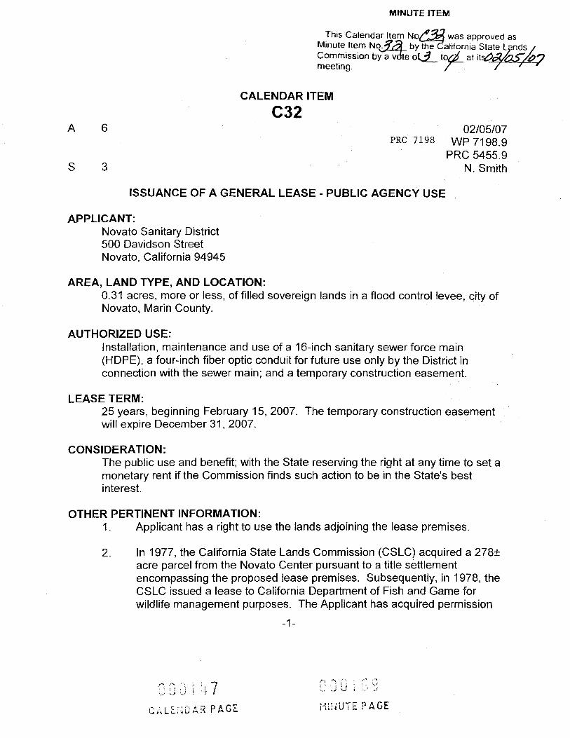
This Calendar Item No@3 was approved as Minute Item No._ by the California State Lands Commission by a vote of 3 toos at 15/05/07meeting.
CALENDAR ITEM
C32 A 6 02/05/07
PRC 7198 WP 7198.9 PRC 5455.9
S 3 N. Smith
ISSUANCE OF A GENERAL LEASE - PUBLIC AGENCY USE
APPLICANT: Novato Sanitary District 500 Davidson Street Novato, California 94945
AREA, LAND TYPE, AND LOCATION: 0.31 acres, more or less, of filled sovereign lands in a flood control levee, city of Novato, Marin County.
AUTHORIZED USE: Installation, maintenance and use of a 16-inch sanitary sewer force main (HDPE), a four-inch fiber optic conduit for future use only by the District in connection with the sewer main; and a temporary construction easement.
LEASE TERM: 25 years, beginning February 15, 2007. The temporary construction easement will expire December 31, 2007.
CONSIDERATION: The public use and benefit; with the State reserving the right at any time to set a monetary rent if the Commission finds such action to be in the State's best interest.
OTHER PERTINENT INFORMATION: 1 . Applicant has a right to use the lands adjoining the lease premises.
2. In 1977, the California State Lands Commission (CSLC) acquired a 2781 acre parcel from the Novato Center pursuant to a title settlement encompassing the proposed lease premises. Subsequently, in 1978, the CSLC issued a lease to California Department of Fish and Game for wildlife management purposes. The Applicant has acquired permission
-1-
000109000147 HINUTE PAGECALENDAR PAGE

4
CALENDAR ITEM NO. C32 (CONT'D)
from Fish and Game to construct the proposed project by letter dated November 1, 2006.
3. The Novato Sanitary District is implementing the Wastewater Facility Upgrade Project to address aging infrastructure at its two treatment plants to meet current regulatory requirements and to provide incremental capacity in accordance with the city of Novato's General Plan for the projected service area buildout (year 2025). Most of the infrastructure built in the 1950's and 1970's are aging and lacks redundancy in its treatment system. This diminishes the Applicant's ability to meet discharge requirements under its National Pollution Discharge Elimination System (NPDES) permit with the degree of liability required. Consequently, the San Francisco Bay Regional Water Quality Board mandated that the facilities meet current regulatory requirements by July 2008. In order to comply, the Applicant must upgrade its treatment facilities.
In 1998, the CSLC issued a lease to the Applicant for the construction of a six-inch sewer main pipeline crossing under Novato Creek and in 1997, authorized a lease for an existing 54-inch sewer main pipeline crossing under Novato Creek and an existing 54-inch outfall pipeline located in San Pablo Bay. The existing sewer improvements at Novato Creek are located in the general vicinity of the proposed new sewer main. The Applicant continues to operate and maintain both of the existing sewer main pipeline systems and does not have any plans to remove these improvements. The Applicant requests that the CSLC issue a separate lease for the new sewer main project.
5. The Applicant has requested a temporary construction easement for the project which will include an additional 0.52 acres and will expire December 31, 2007.
6, An EIR was prepared and certified for this project by the Novato Sanitary District. The California State Lands Commission staff has reviewed such document. A Mitigation Monitoring Plan has been prepared in conformance with the provisions of the CEQA (Public Resources Code section 21081.6). Findings made in conformance with the State CEQA Guidelines (Title 14, California Code of Regulations, sections 15091 and 15096) are contained on file in the Sacramento office of the California
-2-
0001700001 18 MINUTE PAGECALENDAR PAGE
CALENDAR ITEM NO. C32 (CONT'D)
State Lands Commission.
7. A Statement of Overriding Considerations made in conformance with the State CEQA Guidelines (Title 14, California Code of Regulations, section 15093) is contained on file in the Sacramento office of the California State Lands Commission.
8. This activity involves lands identified as possessing significant environmental values pursuant to Public Resources Code sections 6370, et seq. Based upon the staff's consultation with the persons nominating such lands and through the CEQA review process, it is the staff's opinion that the project, as proposed, is consistent with its use classification.
APPROVALS OBTAINED: Novato Sanitary District and the Department of Fish and Game
FURTHER APPROVALS REQUIRED: US Army Corps of Engineers, San Francisco Bay Regional Water Quality Control Board, Sonoma-Marin Area Transit, and the California Department of Transportation
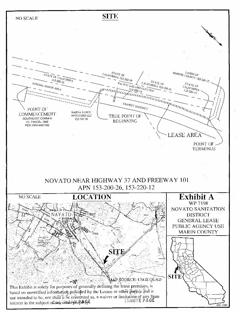
EXHIBITS: A. Location Map - Lease Premises A- 1 . Location Map - Temporary Construction Easement B. Land Description of Lease Premises and Temporary Construction
Easement
PERMIT STREAMLINING ACT DEADLINE: January 18, 2008
RECOMMENDED ACTION: IT IS RECOMMENDED THAT THE COMMISSION:
CEQA FINDING: FIND THAT AN EIR WAS PREPARED AND CERTIFIED FOR THIS PROJECT BY NOVATO SANITARY DISTRICT AND THAT THE COMMISSION HAS REVIEWED AND CONSIDERED THE INFORMATION CONTAINED THEREIN.
-3-
000149 000171 MINUTE PAGECALENDAR PAGE
CALENDAR ITEM NO. C32 (CONT'D)
ADOPT THE MITIGATION MONITORING PLAN, AS CONTAINED ON FILE IN THE SACRAMENTO OFFICE OF THE CALIFORNIA STATE LANDS COMMISSION.
ADOPT THE FINDINGS MADE IN CONFORMANCE WITH TITLE 14, CALIFORNIA CODE OF REGULATIONS, SECTIONS 15091 AND 15096 (h), AS CONTAINED ON FILE IN THE SACRAMENTO OFFICE OF THE CALIFORNIA STATE LANDS COMMISSION.
ADOPT THE STATEMENT OF OVERRIDING CONSIDERATIONS MADE IN CONFORMANCE WITH TITLE 14, CALIFORNIA CODE OF REGULATIONS, SECTION 15093, AS CONTAINED ON FILE IN THE SACRAMENTO OFFICE OF THE CALIFORNIA STATE LANDS COMMISSION.
SIGNIFICIANT LANDS INVENTORY FINDING: FIND THAT THIS ACTIVITY IS CONSISTENT WITH THE USE CLASSIFICATION DESIGNATED BY THE COMMISSION FOR THE LAND PURSUANT TO PUBLIC RESOURCES CODE SECTIONS 6370, ET SEQ.
AUTHORIZATION: AUTHORIZE ISSUANCE TO NOVATO SANITARY DISTRICT OF A GENERAL LEASE - PUBLIC AGENCY USE, BEGINNING FEBRUARY 15, 2007, FOR A TERM OF 25 YEARS, FOR THE INSTALLATION, MAINTENANCE, AND USE OF A 16-INCH SANITARY FORCE MAIN AND A FOUR-INCH FIBER OPTIC CONDUIT FOR FUTURE DISTRICT USE, ALONG WITH A TEMPORARY CONSTRUCTION EASEMENT THAT WILL EXPIRE DECEMBER 31, 2007, AS DESCRIBED ON EXHIBIT B ATTACHED AND BY THIS REFERENCE MADE A PART HEREOF; THE PUBLIC USE AND BENEFIT, WITH THE STATE RESERVING THE RIGHT AT ANY TIME TO SET A MONETARY RENT IF THE COMMISSION FINDS SUCH ACTION TO BE IN THE STATE'S BEST INTEREST.
-4-
090150 00017 CALENDAR PAGE MINUTE PAGE
SITENO SCALE
STATE OF CALIFORNIA STATE OFCALIFORNIA 153-200-28
LANDS OFMARINE COUNTY 153-220-27
153-200-26 SONOMA-MARIN AREA
STATE OFCALIFORNIA 153-200-20PACIFIC GAS AND ELECTRIC STATE OF
CALIFORNIA 153-200-14 153-220-12
120 TRANSIT DISTRICT
POINT OF HANNA RANCH
COMMENCEMENT INVESTORS LLC TRUE POINT OF SOUTHEAST CORNER 153-340-06
OF PARCEL ONE BEGINNING PER 2004-0067309
LEASE AREA
POINT OF TERMINUS
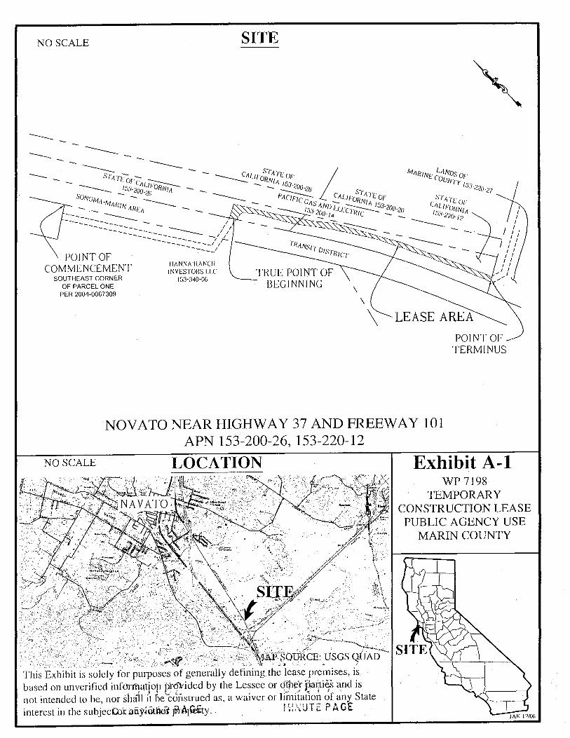
NOVATO NEAR HIGHWAY 37 AND FREEWAY 101 APN 153-200-26, 153-220-12
NO SCALE LOCATION Exhibit A WP 7198
NOVATO SANITATION NAVATO. DISTRICT
GENERAL LEASE PUBLIC AGENCY USE
MARIN COUNTY
SITE
SITE MAP SOURCE: USGS QUAD
This Exhibit is solely for purposes of generally defining the lease premises, is based on unverified information provided by the Lessee or other parties and is not intended to be, nor shall it be construed as, a waiver or limitation of any State
MINUTE PAGEinterest in the subject ofanyotherRopeGE JAK 12/06
SITENO SCALE
STATE OF CALIFORNIA STATE OFCALIFORNIA 153-200-2 LANDS OFMARINE COUNTY 153-220-27
153-200-26 SONOMA-MARIN AREA
STATE OFCALIFORNIA 153-200-20PACIFIC GAS AND ELECTRIC STATE OF
CALIFORNIA 153-200-14 153-220-12
TRANSIT DISTRICT
POINT OF HANNA RANCH
COMMENCEMENT INVESTORS LLC TRUE POINT OFSOUTHEAST CORNER 153-340-06
OF PARCEL ONE BEGINNING PER 2004-0067309
LEASE AREA
POINT OF TERMINUS
NOVATO NEAR HIGHWAY 37 AND FREEWAY 101 APN 153-200-26, 153-220-12
NO SCALE LOCATION Exhibit A-1 WP 7198
TEMPORARY NAVATO CONSTRUCTION LEASE
PUBLIC AGENCY USE MARIN COUNTY
SITE
SITE `MAP SOURCE: USGS QUAD
This Exhibit is solely for purposes of generally defining the lease premises, is based on unverified information provided by the Lessee or other parties and is not intended to be, nor shall it be construed as, a waiver or limitation of any State
MINUTE PAGEinterest in the subjector any other property. JAK 12/06

EXHIBIT B SEWER LEASE AREA WP7198 LAND DESCRIPTION
All those certain Sovereign Lands situate in the City of Novato, County of Marin, State of California, being a portion of the lands of the State of California, being a portion of Parcel One as described by deed recorded February 28, 1977 under instrument number 9293, in Book 3159 at page 445 of Official Records of said county, being a sewer lease area over a strip of land 12.00 feet wide, the centerline of which is more particularly described as follows:
Commencing at a point on the westerly line of the Lands of Sonoma-Marin Area Rail Transit District (SMART), as described by deed recoded March 27,2006, under Recorder's Serial No. 06-18841, records of said county, said point being the northeast comer of Parcel One of the lands of Lands of Hanna Ranch Investors, LLC, as described by deed recorded July 30, 2004 in document number 2004-0067309,said document was re-recorded to correct the "State of the Grantee" August 16, 2004 in document number 2004-0072129 of Official Records of said county;
Thence along said westerly line, South 32 26' 55" East 657.55 feet;
Thence departing said westerly line, and entering the lands of said district, North 79 30' 33" East 97.04 feet to the easterly line of the lands of said district and the True Point of Beginning;
Thence departing said easterly line, and entering said Sovereign lands to, North 79 30' 33" East 41.66 feet;
Thence South 44 14' 27" East 2.34 feet to the beginning of a tangent curve, concave to the southwest, having a central angle of 11 15' 00" and a radius of 450.00 feet;
Thence southeasterly along said curve, 88.36 feet to the beginning of a tangent line;
Thence along said line, South 32 59' 27" East 146.05 feet to the beginning of a tangent curve, concave to the northeast, have a central angle of 03 13' 35" and a radius of 1000.00 feet;
Thence southeasterly along said curve, 56.31 feet to the beginning of a reverse curve, concave to the southwest, having a central angle of 13 49' 01" and a radius of 2300.00 feet;
Thence southeasterly along said curve, 554.65 feet to the beginning of a reverse curve, concave to the northeast, having a central angle of 03 10' 08" and a radius of 2000.00 feet;
Thence southeasterly along said curve, 110.62 feet to the beginning of a reverse curve, concave to the southwest, having a central angle of 07 43' 08" and a radius of 600.00 feet;
Thence southeasterly along said curve, 80.83 feet to the beginning of a tangent line;
Thence along said line, South 17 51' 01" East 35.40 feet to the Point of Terminus on the north line of and distant North 60 46' 46" East 58.52 feet from the northwest corner of Parcel 1, of the Lands of the County of Marin, as described by deed recorded March 2, 1966 in Book 2029 at Page 1, of Official Records said county..
000175000153 Page ! of 2 MINUTE PAGECALENDAR PAGE
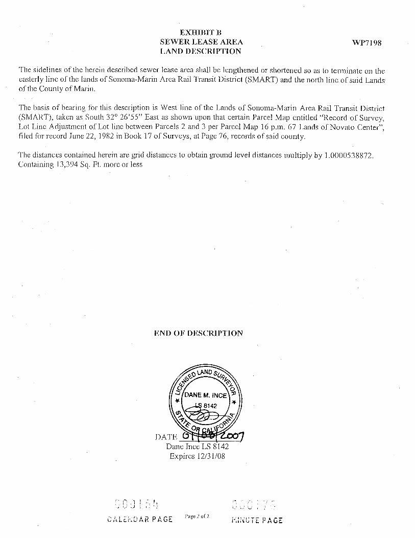
EXHIBIT B SEWER LEASE AREA WP7198 LAND DESCRIPTION
The sidelines of the herein described sewer lease area shall be lengthened or shortened so as to terminate on the easterly line of the lands of Sonoma-Marin Area Rail Transit District (SMART) and the north line of said Lands of the County of Marin.
The basis of bearing for this description is West line of the Lands of Sonoma-Marin Area Rail Transit District (SMART), taken as South 32 26'55" East as shown upon that certain Parcel Map entitled "Record of Survey, Lot Line Adjustment of Lot line between Parcels 2 and 3 per Parcel Map 16 p.m. 67 Lands of Novato Center", filed for record June 22, 1982 in Book 17 of Surveys, at Page 76, records of said county.
The distances contained herein are grid distances to obtain ground level distances multiply by 1.0000538872. Containing 13,394 Sq. Ft. more or less
END OF DESCRIPTION
VEYOR
DANE M. INCELICENSE
LS 8142
CATE FORNIA
DATE 61 89 2007 Dane Ince LS 8142 Expires 12/31/08
003154 060176 Page 2 of 2CALENDAR PAGE MINUTE PAGE

MARIN COUNTY 153-220-27LANDS OFSTATE OFCALIFORNIA 153-200-28STATE OF CALIFORNIA 153-200-26
STATE OFCALIFORNIA 153-220-20 SONOMA-MARIN AREA PACIFIC GAS AND ELECTRIC STATE OF
CALIFORNIA
$32 26 55 E N79 30'33"E
97.04'
153-200-14 8
153-220-12
657.55 -C3 12.00 TRANSIT DISTRICT
POINT OF COMMENCEMENT
NORTHEAST CORNER OF PARCEL ONE PER 2004-0067309 HANNA RANCH
INVESTORS LL
12.10'
TRUE POINT OF BEGINNING 6.00'
C4N60 46 46 5 C5 L4.
POINT OF TERMINUS MINUTE PAGE
153-340-06
LINE TABLE
L1 41.66' N79 30'33"E CURVE TABLE
C1 11'15'00" 450.00' 88.36' L2 2.34' S44'14'27"E
C2 3'1 3'35" 1000.00 56.31
C3 13 49'01" 2300.00 554.64'L3 146.05' S32'59'27"E
3'10'08 2000.00 110.62' L4
C4 000135
35.40' N17'51'01"W CALENDAR PAGEC5 7'43'08" 600.00 80.83'
PLAT FOR REFERENCE ONLY EXHIBIT B
AREA APNS SEWER LEASE AREA OVER THE SOVEREIGN WWINZLER S KELLY CHKD DICONSULTING ENGINEERS 13,394 SQ FT +/- LANDS OF THE STATE OF CALIFORNIA IN
495 TESCONI CIRCLE, SANTA ROSA, CA 95401 153-200-26, FAVOR OF NOVATO SANITARY DISTRICTPH (707) 523-1010 + FAX (707) 327-8679 SCALE: 1"=200 DRN PBWWW.W-AND-K.COM 153-220-12
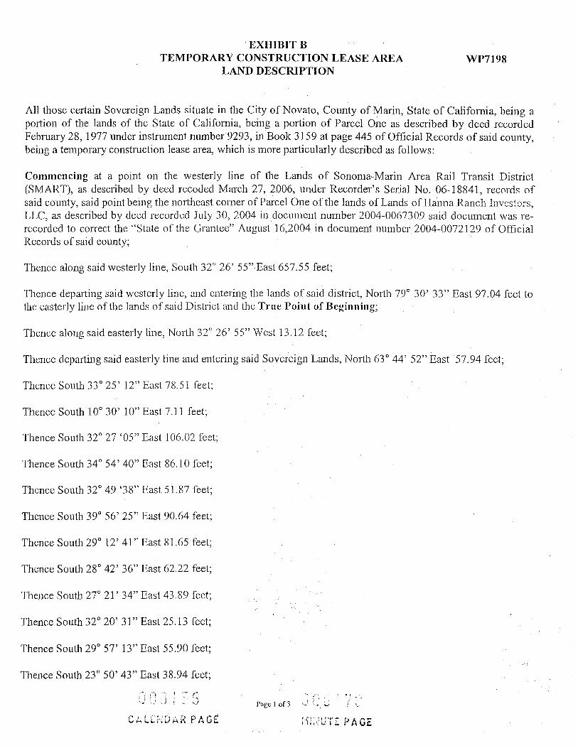
EXHIBIT B TEMPORARY CONSTRUCTION LEASE AREA WP7198
LAND DESCRIPTION
All those certain Sovereign Lands situate in the City of Novato, County of Marin, State of California, being a portion of the lands of the State of California, being a portion of Parcel One as described by deed recorded February 28, 1977 under instrument number 9293, in Book 3159 at page 445 of Official Records of said county, being a temporary construction lease area, which is more particularly described as follows:
Commencing at a point on the westerly line of the Lands of Sonoma-Marin Area Rail Transit District SMART), as described by deed recoded March 27, 2006, under Recorder's Serial No. 06-18841, records of
said county, said point being the northeast corner of Parcel One of the lands of Lands of Hanna Ranch Investors, LLC, as described by deed recorded July 30, 2004 in document number 2004-0067309 said document was re-recorded to correct the "State of the Grantee" August 16,2004 in document number 2004-0072129 of Official Records of said county;
Thence along said westerly line, South 32 26' 55" East 657.55 feet;
Thence departing said westerly line, and entering the lands of said district, North 79 30' 33" East 97.04 feet to the easterly line of the lands of said District and the True Point of Beginning;
Thence along said easterly line, North 32 26' 55" West 13.12 feet;
Thence departing said easterly line and entering said Sovereign Lands, North 63 44' 52" East 57.94 feet;
Thence South 33 25' 12" East 78.51 feet;
Thence South 10 30' 10" East 7.11 feet;
Thence South 32 27 '05" East 106.02 feet;
Thence South 34 54' 40" East 86.10 feet;
Thence South 32 49 '38" East 51.87 feet;
Thence South 39 56' 25" East 90.64 feet;
Thence South 29 12' 41" East 81.65 feet;
Thence South 28 42' 36" East 62.22 feet;
Thence South 27 21' 34" East 43.89 feet;
Thence South 32 20' 31" East 25.13 feet;
Thence South 29 57' 13" East 55.90 feet;
Thence South 23 50' 43" East 38.94 feet;
000135 Page 1 of 3
CALENDAR PAGE MINUTE PAGE
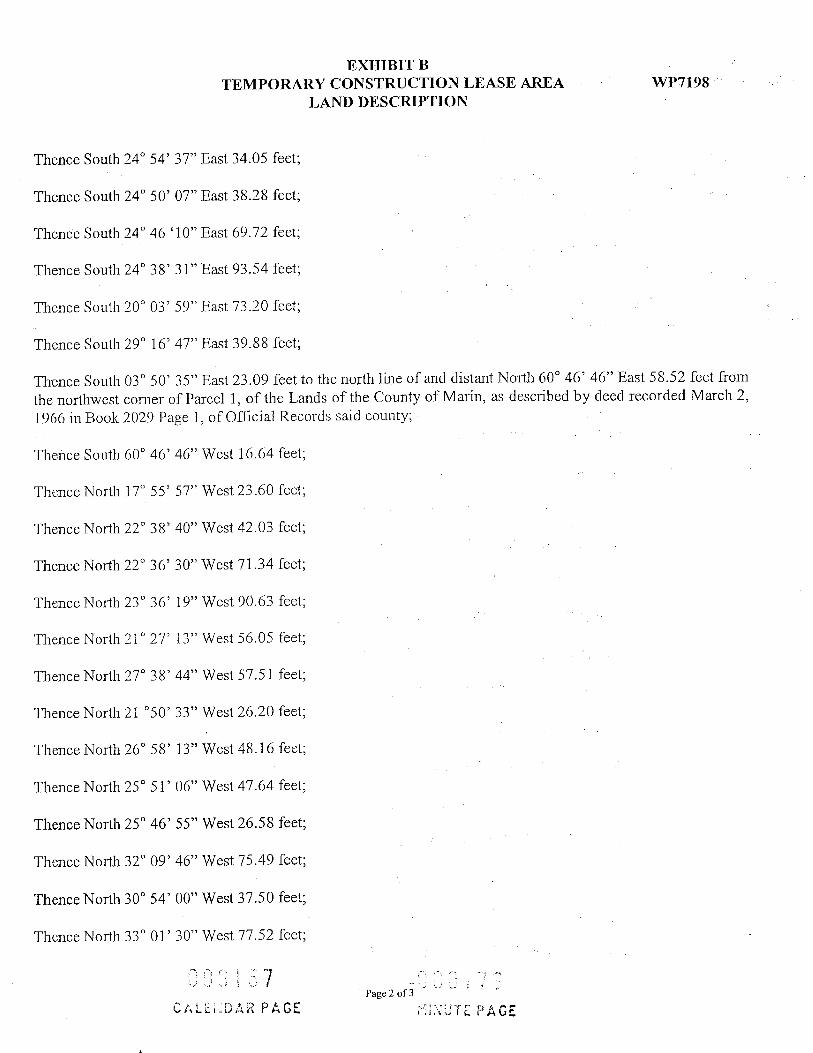
EXHIBIT B WP7198TEMPORARY CONSTRUCTION LEASE AREA
LAND DESCRIPTION
Thence South 24 54' 37" East 34.05 feet;
Thence South 24 50' 07" East 38.28 feet;
Thence South 24 46 '10" East 69.72 feet;
Thence South 24 38' 31" East 93.54 feet;
Thence South 20 03' 59" East 73.20 feet;
Thence South 29 16' 47" East 39.88 feet;
Thence South 03 50' 35" East 23.09 feet to the north line of and distant North 60 46' 46" East 58.52 feet from the northwest corner of Parcel 1, of the Lands of the County of Marin, as described by deed recorded March 2, 1966 in Book 2029 Page 1, of Official Records said county;
Thence South 60 46' 46" West 16.64 feet;
Thence North 17 55' 57" West 23.60 feet;
Thence North 22 38' 40" West 42.03 feet;
Thence North 22 36' 30" West 71.34 feet;
Thence North 23 36' 19" West 90.63 feet;
Thence North 21 27' 13" West 56.05 feet;
Thence North 27 38' 44" West 57.51 feet;
Thence North 21 50' 33" West 26.20 feet;
Thence North 26 58' 13" West 48.16 feet;
Thence North 25 51' 06" West 47.64 feet;
Thence North 25 46' 55" West 26.58 feet;
Thence North 32 09' 46" West 75.49 feet;
Thence North 30 54' 00" West 37.50 feet;
Thence North 33 01' 30" West 77.52 feet;
000157 :900176 Page 2 of 3
CALENDAR PAGE MINUTE PAGE

EXHIBIT B TEMPORARY CONSTRUCTION LEASE AREA WP7198
LAND DESCRIPTION
Thence North 36" 19' 51" West 77.61 feet;
Thence North 38 16' 56" West 74.19 feet;
Thence North 31 30' 1 1' West 77.02 feet;
Thence North 28 45' 21" West 81.51 feet;
Thence North 37 06' 29" West 14.29 feet;
Thence North 42 05' 39" West 48.45 feet;
Thence North 57 56 '59" West 9.37 feet;
Thence South 83 26' 39" West 24.04 feet;
Thence South 45 32' 19" West 6.35 feet to the easterly line of said Lands of Sonoma-Marin Area Rail Transit District (SMART);
Thence North 32 26' 55" West 19.37 feet the True Point of Beginning;
The basis of bearing for this description is West line of the Lands of Sonoma-Marin Area Rail Transit District (SMART), taken as North 32 26'55" West as shown upon that certain Parcel Map entitled "Record of Survey Lot Line Adjustment of Lot line between Parcels 2 and 3 per Parcel Map 16 p.m. 67 Lands of Novato Center", filed for record June 22, 1982 in Book 17 of Surveys, at Page 76, records of said county.
The distances contained herein are grid distances to obtain ground level distances multiply by 1.0000538872.
Containing 22,654 Sq Ft More or less
END OF DESCRIPTION
SENSED LAND SURVEY DANE M. INCE
LS 8142
LATE OF CALIFORN
DATE 01 08 2007 Dane Ince LS 8142 Expires 12/31/08
000158 Page 3 of 3
009130 CALENDAR PAGE MINUTE PAGE

L1 13.12' N32 26'55"W L2 57.94' N63 44'52"E L3 78.51' S33'25'12"E
7.11' S10'30'10"E L5 106.02' S32'27'05"E
86.10' S34'54'40"E L7 51.87' S32 49'38"E L8 90.64' $39'56'25"E L9 81.65' S29'12'41"E L10 62.22' S28'42'36"E L11 43.89' S27'21'34"E L12 25.13' S32 20'31"E L13 55.90' S29'57'13"E L14 38.94' S23'50'43"E L15 34.05' S24'54'37"E
STATE OF CALIFORNIA 153-200-26"SONOMA - MARIN
AREA RAPIDTRANSIT DISTRICT
S32'26 55 E N7930'33"E -97.04'
657.55
POINT OF COMMENCEMENT
NORTHEAST CORNER
LINE TABLE
L16 38.28' S24 50'07"E L17 69.72' S24 46'10"E L18 93.54' S24'38'31"E 19 73.20' $20'03'59"E L20 39.88' S29'16'47"E L21 23.09' 503'50'35"E L22 16.64' S60'46'46"W L23 23.60' N17'55'57"W L24 42.03' N22 38'40"W L25 71.34' N22 36'30"W L26 90.63' N23 36'19"W L27 56.05' N21 27'13"W L28 57.51' N27'38'44"W L29 26.20' N21'50'33"W L30 48.16' N26'58'13"W
STATE OFCALIFORNIA 153-200-28
L31 47.64' N25'51'06"W L32 26.58' N25 46'55"W L33 75.49 N32'09'46"W L34 37.50' N30'54'00"W L35 77.52' N33 01'30.W L36 77.61' N36 19'51"W L37 74.19' N38'16'56"W L38 77.02' N31 30'11"W L39 81.51' N28'45'21"W 140 14.29' N37'06'29"W L41 48.45' N42:05'39"W L42 9.37' N57'56'59"W L43 24.04' $83 26'39"W _44 6.35' S45 32'19"W L45 19.37' N32 26'55"W
MINUTE PAGE000181MARIN COUNTY 153-220-27LANDS OF
STATE OF
CALENDAR PAGE HANNA RANCHOF PARCEL ONE PER 123RS LLC BEGINNING
2004-0067309 L22 7 121153-340-06
PACIFIC GAS AND ELECTRICSTATE OF CALIFORNIACALIFORNIA 153-220-20 153-220-12
153-200-14 L41 39 238/ L3717-L8- 19-L10-L113113. J,35, L17, L18 19
136 135 133 131234OL28 L27 L26SONOMA-MARIN$ TRANSIT DISTRICT AREA RAPID
125 VTRUE POINT OF
PLAT FOR REFERENCE ONLY AREAWINZLER S KELLY
CONSULTING ENGINEERS 22,654 SQ FT +/-495 TESCONI CIRCLE, SANTA ROSA CA 95401
PH (707) 523-1010 . FAX (707) 527-8979 SCALE: 1"=200' WWW.W.AND.K.COM
EXHIBIT B
APNS TEMPORARY CONSTRUCTION LEASE AREA CHKD DI OVER THE SOVEREIGN LANDS OF THE STATE
153-200-26, OF CALIFORNIA IN FAVOR OF NOVATO SANITARY DISTRICT153-220-12 DRN PP