an overview of california land use planning and regulationinyoplanning.org/planning101.pdf · an...
TRANSCRIPT

An Overview of California Land Use
Planning and Regulation
(hierarchy of relationships)
Police Power
General Plan
Specific Plan
Zoning Ordinance – Subdivision Ordinance
Development Agreements
Legislative Acts
Administrative Acts
Subdivision Maps, Development Permits, Conditional Use Permits, Variances, etc.
by Thomas Jacobson, AICP

The Police Power Planning and the regulation of land use are based upon local government's "police
power."
The courts have held that the police power may be used to regulate a wide and
expanding variety of activities as long as it is exercised in a manner that is reasonably
related to the protection of the public's health, safety, and welfare, is not preempted by
federal or state law, and is within the framework of state statute.
Community planning, zoning laws, subdivision regulations, rent controls, sign controls,
community growth management regulations, and dedications of private land as a
condition of development approval are some examples of the police power at work.
Constitutional guarantees of equal protection, free speech, due process, and just
compensation for the taking of private property define the boundaries of the police
power.
An illegal "taking" may occur as a result of either the public's acquisition of private
property without just compensation or of excessively restrictive land use regulations that
deprive a property owner of all uses of his/her land.

TYPES OF PROJECTS PROCESSED BY INYO COUNTY
• General Plan Amendments that affect the entire County, or entire land use designations
• General Plan Amendments on specific properties
• Zoning Ordinance changes
• Zoning designation changes on specific properties
• Specific Plan
• Precise Plan
• Conditional Use Permits
• Conditional Use Permit: Water Transfers
• Conditional Use Permit: Geothermal Plant
• Conditional temporary uses: 1. In any R district, a tract and sales office during the period of construction and
original sale of the lots or buildings in a new subdivision; provided, that the office and accessory signs allowed by the conditions of the approval shall be removed and all the district regulations applied within ten days after the expiration of a time limitation which shall be specified in each instance;
2. In any district, a directional sign, which shall consist solely of the name and location of a new tract or subdivision and directions for reaching same; provided that every such sign shall be removed within ten days after the expiration of a time limitation of one year from the date of time approval.
• Variance
• Wireless Communication Facilities Plan
• Design review approval for mobile homes/permits
• Lone Pine Architectural Review
• Tentative Parcel Map (four parcels)
• Tentative Tract Map (more than four parcels)
• Lot Line Adjustment/Certificate of Compliance
• Parcel Merger
• Mine Reclamation Plans and Plan Amendments (SMARA)
STATE LAW AND LOCAL PLANNING State law is the foundation for local planning in California. The California Government Code (Sections 65000 et seq.) contains many of the laws pertaining to the regulation of land uses by local governments including: the general plan requirement, specific plans, subdivisions, and zoning. However, the State is seldom involved in local land use and development decisions; these have been delegated to the city councils and boards of supervisors of the individual cities and counties. Local decision makers adopt their own sets of land use policies and regulations based upon the state laws.
Hearing Bodies In counties, the board of supervisors can appoint one or more hearing bodies to assist them with planning matters. Inyo County’s hearing bodies and their responsibilities are:
• The Planning Commission: considers general plan and specific plan amendments, zone changes, and major subdivisions.
• Lone Pine: reviews projects to ensure that they meet community aesthetic standards.
In Inyo County, the Planning Commission has final approval authority over conditional use permits, variances, tentative parcel and tract maps, and other more minor permits, as well as the CEQA determinations for all these actions. All planning commission final decisions may be appealed to the Board of Supervisors. Planning Commissions do not have final say on matters of policy such as zone changes and general or specific plan amendments.
Hearings State law requires that local governments hold public hearings prior to most planning actions. The method of advertising hearings may vary. Notice of a proposed general plan amendment affecting allowable land uses, zone change, conditional use permit, variance, and subdivision tract and other planning actions are published in the newspaper and on actions for specific properties, mailed to nearby property owners. There are size and substance of notice requirements, as well as minimum and maximum time periods for sending out notices prior to hearings. At the hearing, the board, or commission will explain the proposal, consider it in light of local regulations and environmental effects, and listen to testimony from interested parties. The council, board, or commission will vote on the proposal at the conclusion of the hearing. Depending upon each jurisdiction's local ordinance, public hearings are not always required for minor land subdivisions, architectural or design review or ordinance interpretations.

Findings • County decisions must be based on a rational decision-making process. Often,
the Commission and/or Board and/or Board must adopt written "findings" explaining the factual reasons for its decision.
• A finding is a statement of fact relating the information that the Commission and/or Board has considered to the decision that it has made.
• If a decision is challenged in court, the findings will be used to trace the Commission and/or Board's reasoning and to determine whether its action was legally justified.
• Findings must be supported by evidence in the hearing record (i.e., testimony, reports, environmental documents, etc.) and should not contain unsupported statements. Complete findings should be included in the Commission and/or Board's resolution of approval or denial.
• Making findings will not rescue a decision if the Commission and/or Board has failed to follow the other procedures required by law.
Some actions requiring findings:
• General Plan and Zone Amendment -- finding of consistency with the general plan and any specific plans
• General plan amendment limiting the number of newly constructed dwellings -- specific findings required by state statute
• Adoption of a local ordinance affecting regional housing needs -- specific findings required by state statute
• Approval of a housing project when density is lower than that which was allowed when application was accepted -- specific findings required by state statute.
• Specific plan adoption or amendment -- finding of consistency with the general plan.
• Subdivision -- finding of consistency with the general plan and any specific plans; findings supporting approval/denial per state and local codes.
• Conditional use permit -- locally required findings (if any), findings supporting approval and conditions.
• Variance -- specific findings required by state statute.
• Design review approval -- locally required findings (if any), findings supporting approval and conditions.
• Projects involving an EIR -- findings of overriding consideration, findings of significant effect.
INYO COUNTY PLANNING DEPARTMENT
• Provides services to its customers in matters of property development, land use and environmental review.
• Is responsible for administration and enforcement of the state laws regarding planning and mining,
• Administers the Inyo County General Plan and Ordinances including the Zoning Ordinance (Title 18 of the County Code), and State of California
• Administers CEQA Procedures (Title 15 of the County Code), and State of California CEQA laws and Guidelines
• Administers Subdivision Ordinance (Title 18 of the County Code), and State of California Subdivision Map Act
• Administers the Inyo County Surface Mining and Reclamation Ordinance (Chapter 7.70 of the County Code), and State of California Surface Mining and Reclamation Act
• And administers other miscellaneous code sections. The Inyo County Planning Department, according to the Inyo County Code:
• Provides planning services to the Inyo County Planning Commission and/or Board
• Enforces the zoning ordinance
• Receive and process land division applications
• Assist the Planning Commission and/or Board and other departments in complying with environmental laws (Lead Agency for all CEQA matters except Water Depart)
• Performs other duties as assigned by the BOS

The Inyo County Planning Department, in addition to the Code stated roles:
• Provides staff support to the Board of Supervisors, Lone Pine Architectural Review Committee and the Inyo County Collaborative Planning Team
• Manages and implements the Inyo County General Plan, which can include:
• Assisting Inyo County unincorporated communities in identifying goals and objectives, workable plans to achieve those goals, and memorializing those goals in the proper plans and codes to assure implementation
• Estimating how much, what kind, and where growth may occur so that public funds can be wisely invested.
• Analyzing various trends to forecast future demand for services or facilities; such as schools, parks and roads.
• Processes other development applications, provides public information, telephone consultations, Internet Web site information, written responses to planning questions and public hazard disclosure.
• Prepares and circulates County environmental documents and reviews and comments on documents as a Responsible Agency under the California Environmental Quality Act (CEQA) and National Environmental Policy Act;
• Provides staff services under contract for the Inyo Local Agency Formation Commission and/or Board.
• Works on specific projects and tasks annually set forth in a work program and budget adopted by the County Board of Supervisors and performs such other tasks in response to emerging issues as resources permit.
• Serves people: elected and appointed officials, other departments and public agencies, Inyo County community members and business owners individually and/or collectively. The Planning Staff works in partnership with people and facilitates the flow of information so that decision makers can make the best decisions for the community, and citizens can access accurate information and respond accordingly. We assist and advise, and seek out others for assistance and advice where appropriate.
• Maintains professional and competent staff to perform our duties and responsibilities.

General Process for Applications
1. Initial contact with Planning Department – Request land specific information, applicable codes and correct forms for action proposed
2. Pre-application meeting (optional but recommended) 3. Submit application, with deposit for fees and appropriate contracts 4. Staff reviews application for completeness 5. If application is incomplete, letter goes to applicant stating what
additional information is needed 6. If application is complete, official letter deeming application is complete
goes to applicant 7. CEQA Initial study 8. Determination of Negative Declaration or EIR 9. Commence CEQA process while simultaneously processing project 10. Circulate project for comment 11. Staff development review meeting 12. Write draft staff report, review by director 13. Notice for hearing 14. Planning Commission hearing 15. If applicable, notice for Supervisors hearing 16. Board of Supervisors hearing 17. Write up final approval for file

General Plan
• General Plan is Mandatory: State law requires that incorporated cities and counties adopt "a comprehensive, long-term general plan for [its] physical development.” stating policies affect the future location of housing, business, industry, roads, parks, and other land uses, protect the public from noise and other environmental hazards, and conserve natural resources. The County is required to make all decisions consistent with the general plan through its zoning, subdivision and other ordinances.
• The General Plan and Zoning Are Not the Same: A general plan sets long-
term goals and policies to guide decisions; it does not directly regulate land use. The general plan is a blueprint and zoning is a tool for making it a reality.
• Contents of the general plan:
1. Written text describing the community's goals, objectives, and policies
toward development. 2. Maps and diagrams showing distribution of land uses, major road
systems, seismic and environmental hazard areas, open space systems, and other policies
• Seven components (called "elements") are mandatory:
1. Land use element: designates the general location and intensity of housing,
business, industry, open space, public buildings and grounds, waste disposal facilities, and other land uses.
2. Circulation element: identifies the general location and extent of existing and proposed major roads, transportation routes, terminals, and public utilities and facilities. It must correlate with the land use element.
3. Housing element: assesses current and projected housing needs for all economic segments of the community and region. It identifies local housing policies and the programs that implement those policies.
4. Conservation element: addresses conservation, development, and use of natural resources including water, forests, soils, rivers, and mineral deposits.
5. Open-space element: details plans and measures for preserving open-space for natural resources, the managed production of resources, outdoor recreation, public health and safety, and the identification of agricultural land.
6. Noise element: identifies and appraises noise problems within the community and forms the basis for distributing land uses.
7. Safety element: establishes policies to protect the community from seismic, geologic, flood, and wildfire hazards.
8. Optional elements: Jurisdictions may also adopt additional elements of local interest such as recreation, community design, or public facilities.

• Consistency: Governmental actions be consistent with the general plan, AND the plan itself must be internally consistent. Each part of the general plan, be it a goal, policy or map/diagram, must mesh with all of the other parts of the plan.
• Approving and Amending the Plan: The planning Commission and/or Board
and the county board of supervisors must each hold at least one public hearing prior to approving or amending the plan. Each of the general plan's seven required elements can be amended only four times per calendar year. More than one change may be considered at each of these four opportunities. Optional elements, on the other hand, can be amended at any time.
The council or board will take final action on the proposals at their hearing. If they make substantial changes to any planning Commission and/or Board recommendations, those items must be sent back to the Commission and/or Board for further study and recommendations before a final decision is made. The Commission and/or Board will have 40 days in which to make any further recommendations. The general plan shouldn't be amended casually. In fact, state law requires that amendments only be made when "in the public interest." Commission and/or Boarders should be able to answer all the following questions affirmatively when approving an amendment.
• Is the amendment in the public interest (i.e., it advances community goals,
describes a community interest, etc.)? • Is the amendment consistent with all other parts of the general plan (in
other words, it doesn't conflict with any of the goals, objectives, policies maps or diagrams contained in any of the general plan's other elements)?
• If the amendment creates a "ripple effect," necessitating other changes to the plan, are those related changes being considered at the same time?
• Will the amendment necessitate changes in zoning or other ordinances and are those changes to be considered within a reasonable time?
• If a mitigated negative declaration or an EIR is adopted or certified for the amendment, have the mitigation measures been incorporated into the amendment?
Community Plans: "Community plans" focus planning efforts on a smaller area or neighborhood. A community plan is part of the local general plan. Specific Plans: A "specific plan" implements, the local general plan, and describe allowable land uses, identify open space, and detail infrastructure availability and financing for specific properties. Specific plans can take the place of zoning. A specific plan must be consistent with the general plan. In turn, zoning, subdivision, and public works decisions must comply with the specific plan.

ZONING A zoning ordinance is the local law that spells out the immediate, allowable uses for each piece of property within the community. In all counties, general law cities, and the city of Los Angeles, zoning must comply with the general plan. This rule does not apply to charter cities. The purpose of zoning is to implement the policies of the general plan.
Zones
• Under the concept of zoning, various kinds of land uses are grouped into general categories or "zones" such as single-family residential, multi-family residential, neighborhood commercial, light industrial, agricultural, etc. A typical zoning ordinance describes 20 or more different zones that may be applied to land within the community.
• Each piece of property in the community is assigned a zone listing the kinds of uses that will be allowed on that land and setting standards such as minimum lot size, maximum building height, and minimum front yard depth.
• The distribution of residential, commercial, industrial, and other zones will be based on the pattern of land uses established in the community's general plan. Maps are used to keep track of the zoning for each piece of land
• Zoning is adopted by ordinance and carries the weight of local law.
• Land may be put only to those uses allowed by the applicable zoning classification. For example, if a commercial zone does not allow five-story office buildings, then no such building could be built on the lands that have been assigned that zone.
• A zoning ordinance has two parts: 1. A precise map or maps illustrating the distribution of zones within the
community; and, 2. A text that identifies the specific land uses and development standards
allowed in each zone.

Rezoning
• The particular zone determines the uses allowed on the land in the zone.
• If a landowner proposes a use that is not allowed in the zone, the city or county could approve a rezoning (change in zone) to allow that development.
• The local planning commission and the city council or county board of supervisors must hold public hearings before property may be rezoned.
• The hearings must be advertised in advance and notice mailed directly to surrounding property owners.
• The council or board is not obligated to approve requests for rezoning and, except in charter cities, must deny such requests when the proposed zone conflicts with the general plan.
Overlay Zones
In addition to the zoning applied to each parcel of land, many cities and counties use "overlay zones" to further regulate development in areas of special concern. Lands in historic districts, downtowns, and floodplains, near earthquake faults or on steep slopes are often subject to having additional regulations "overlain" upon the basic zoning requirements. In Inyo County, overlay zones include those for earthquake prone areas, avalanche prone areas, mobile homes, and design review in Lone Pine. For example, a lot that is within a single-family residential zone and also subject to an avalanche overlay zone, must meet the development requirements of both zones when it is developed.
Prezoning
Cities may "prezone" lands located within the surrounding county in the same way that they approve zoning within the city. Prezoning is done before annexation of the land to the city in order to facilitate its transition into the city boundaries. Prezoning does not change the allowable uses of the land nor the development standards until such time as the site is officially annexed to the city. Likewise, land that has been prezoned continues to be subject to county zoning regulations until annexation is completed. Required Findings include:
1. Consistent with the Inyo County General Plan
2. Consistent with CEQA provisions
CONDITIONAL USE PERMIT (CUP) Most zoning ordinances identify certain land uses which do not precisely fit into existing zones, but which may be allowed upon approval of a conditional use permit (sometimes called a special use permit or a CUP). These might include community facilities (such as hospitals or schools), public buildings or grounds (such as fire stations or parks), temporary or hard-to-classify uses (such as Christmas tree sales or small engine repair), or land uses with potentially significant environmental impacts (hazardous chemical storage or a house in a floodplain). The local zoning ordinance specifies those uses for which a conditional use permit may be requested, which zones they may be requested in, and the public hearing procedure. As with rezoning and variances, a public hearing must be held to consider a CUP. If the local planning commission or zoning board approves the use, it will usually do so subject to certain conditions being met by the permit applicant. Alternatively, it may deny uses that do not meet local standards. Conditional Use Permit Considerations Commissioners should be able to answer the following questions affirmatively when approving a conditional use permit:
• Is the site appropriate for the proposed use? • Is the proposed use, as conditioned, compatible with its surroundings and with
the uses of nearby lands? • Is the project design, as conditioned, suited to the site? • As conditioned, will adequate water (including fire flows), utilities, sewage
disposal, drainage, roads, fire protection, and other services be provided to the project?
• If significant environmental effects have been identified as a result of the proposed CUP, have conditions been required (or the project redesigned) to mitigate those effects?
• Are the imposed conditions reasonably related to the use proposed by the CUP (i.e. they address concerns raised by 1-4 above)?

Conditional Use Permit Findings The Inyo County Zoning Ordinance does not specifically list any Findings that are required for a CUP. It does, however, state that such conditional uses (18.81.100):
“…are declared to possess characteristics which require special appraisal by the Planning Commission in each instance, to determine whether or not the use is necessary or desirable and will be properly related to other uses and to transportation and service facilities in the vicinity, and whether or not the use would, under all the circumstances of the particular case, affect adversely the health or safety of persons living or working in the vicinity or be materially detrimental to the public welfare.”
Required Findings are:
1. The proposed use is necessary or desirable. 2. The proposed use is properly related to other uses and transportation and
service facilities in the vicinity. 3. The proposed use would not, under all the circumstances of the particular
case, affect adversely the health or safety of persons living or working in the vicinity or be materially detrimental to the public welfare.
4. Consistent with the Inyo County General Plan. 5. Consistent with CEQA provisions.
Conditional Use Permit: Water Transfer 18.77.030 Required Findings. Findings. A conditional use permit for a transfer or transport of water shall be approved only if the county planning commission, in consideration of the recommendations submitted by the water commission, finds that the proposed water transfer to be undertaken (subject to proposed conditions to be placed upon the transfer) will not unreasonably affect the overall economy of Inyo County and will not unreasonably affect the environment of Inyo County.
• Adverse Effect on the Economy or Environment. A proposed water transfer shall be found by the planning commission to unreasonably affect the overall economy of Inyo County or to unreasonably affect the environment of Inyo County if the commission finds, based on the relevant recommendations submitted by the water commission, that the proposed water transfer including all proposed conditions and mitigation measures, will cause a significant adverse effect or effects on the overall economy or the environment of the county.
• Economy. In determining whether a proposed water transfer will unreasonably
affect the overall economy of Inyo County, all relevant factors shall be considered, including, but not limited to, potential injuries to legal users of water in the groundwater basin and the county, direct or indirect economic impacts to suppliers, service providers and others in the county, impacts to the tax base of the county, and the cumulative effects of the proposed water transfer when considered together with the effects of past water transfers, past surface and groundwater exports, proposed economic mitigation measures, as well as the effects of approved or anticipated future water transfers and exports, on the county's overall economy.
• Environment. In determining whether a proposed water transfer will unreasonably affect the environment of Inyo County, all relevant factors shall be considered, including, but not limited to, effects on fish, wildlife, and other in stream uses, effects on water levels in wells, effects on springs and seeps, effects on riparian and groundwater dependent vegetation, effects on rare or endangered plant or animal species, effects on surface water features, recharge to the groundwater basin, effects on the groundwater storage capacity of the basin, potential for overdraft, potential for subsidence, effects on water quality, the capability of the proposed monitoring, groundwater management and/or reporting program to detect and avoid significant adverse impacts and the cumulative effects of the proposed water transfer within the affected groundwater basin, when considered together with the effects of past water transfers, past transfers and water exports, as well as approved and anticipated future water transfers, and water exports from the affected groundwater basin, on the environment

VARIANCE A variance is a limited waiver of development standards for a use that is otherwise permitted in that zone. The city or county may grant a variance in special cases where:
1. application of the zoning regulations would deprive property of the uses enjoyed by nearby, similarly zoned lands; and
2. restrictions have been imposed to ensure that the variance will not be a grant of special privilege.
• A city or county may not grant a variance that would permit a use that is not
otherwise allowed in that zone (for example, a commercial use could not be approved in a residential zone by variance).
• Typically, variances are considered when the physical characteristics of the
property make it difficult to develop. For instance, in a situation where the rear half of a lot is a steep slope, a variance might be approved to allow a house to be built closer to the street than usually allowed.
• Variance requests require a public hearing and neighbors are given the
opportunity to testify.
• The local hearing body then decides whether to approve or deny the variance.

Required Variance Findings The Inyo County Zoning Ordinance states the following three Findings are required in a Variance application (18.81.060):
1. That there are exceptional circumstances applicable to the property, which do not generally apply to other property in the same district.
2. That the result would not be detrimental to the public welfare, or injurious to property in the vicinity
3. That the strict application of the regulation sought to be modified would result in practical difficulties or hardships inconsistent with, and not necessary for the attainment of, the general purpose of this title.
4. In addition, variances must be consistent with the General Plan. Variance criteria contained in Government Code section 65906 prevail over any inconsistent requirements in local ordinances” and includes:
• Because of special physical circumstances applicable to the property, including size, shape, topography, location or surroundings, the strict application of the zoning ordinance deprives such property of privileges enjoyed by other property in the vicinity and under identical zoning classification.
• Conditions may be made to assure that the adjustment shall not grant special privileges inconsistent with the limitations upon other properties in the vicinity and zone in which such property is situated.
• A variance shall not be granted for a parcel of property that authorizes a use or activity that is not otherwise expressly authorized by the zone regulation governing the parcel of property.
Summary of Required Findings:
1. That there are exceptional circumstances applicable to the property involved, or to the intended use, which do not generally apply to other property in the same district and/or which deprives such property of privileges enjoyed by other property in the same district.
2. That the result would not be detrimental to the public welfare, or injurious to property in the vicinity.
3. That the strict application of the regulation sought to be modified would result in practical difficulties or hardships inconsistent with, and not necessary for the attainment of, the general purpose of this title.
4. That the proposed variance shall not constitute a grant of special privileges inconsistent with the limitations upon other properties in the vicinity and zone in which the property is situated.
5. That the proposed variance shall not be granted for a use or activity which is not otherwise expressly authorized by the zone regulation governing the parcel of property.
6. Consistent with the Inyo County General Plan. Consistent with CEQA provisions.

SUBDIVISIONS
• In general, land cannot be divided in California without local government approval. Dividing land for sale, lease or financing is regulated by local ordinances based on the State Subdivision Map Act (commencing with Government Code Section 66410).
• The local general plan, zoning, subdivision, and other ordinances govern the design of the subdivision, the size of its lots, and the types of improvements (street construction, sewer lines, drainage facilities, etc.).
• The city or county may impose a variety of fees upon the subdivision, depending upon local and regional needs, such as school impact fees, park fee, etc.
Subdivision Types There are basically two types of subdivisions:
1. parcel maps, which are limited to divisions resulting in fewer than five lots (with certain exceptions), and
2. subdivision maps (also called tract maps), which apply to divisions resulting in five or more lots.
Applications for both types of land divisions must be submitted to the local government for consideration in accordance with the local subdivision ordinance and the Subdivision Map Act.
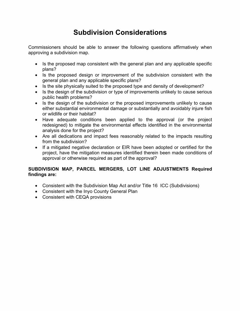
Subdivision Considerations
Commissioners should be able to answer the following questions affirmatively when approving a subdivision map.
• Is the proposed map consistent with the general plan and any applicable specific plans?
• Is the proposed design or improvement of the subdivision consistent with the general plan and any applicable specific plans?
• Is the site physically suited to the proposed type and density of development? • Is the design of the subdivision or type of improvements unlikely to cause serious
public health problems? • Is the design of the subdivision or the proposed improvements unlikely to cause
either substantial environmental damage or substantially and avoidably injure fish or wildlife or their habitat?
• Have adequate conditions been applied to the approval (or the project redesigned) to mitigate the environmental effects identified in the environmental analysis done for the project?
• Are all dedications and impact fees reasonably related to the impacts resulting from the subdivision?
• If a mitigated negative declaration or EIR have been adopted or certified for the project, have the mitigation measures identified therein been made conditions of approval or otherwise required as part of the approval?
SUBDIVISION MAP, PARCEL MERGERS, LOT LINE ADJUSTMENTS Required findings are:
• Consistent with the Subdivision Map Act and/or Title 16 ICC (Subdivisions) • Consistent with the Inyo County General Plan • Consistent with CEQA provisions

Subdivision Processing Upon receiving an application for a tentative subdivision map, the city or county staff will examine the design of the subdivision to ensure that it meets the requirements of the general plan and the subdivision ordinance. An environmental impact analysis must be done and an advertised public hearing held before a tentative map is considered for approval. If approved, the map will be subject to conditions that the subdivider must meet within a specific time period. At this stage, while conditions remain to be met, no lots have been officially approved.
Final Subdivision Approval
• Approval of a tentative tract map or parcel map generally means that the subdivider will be responsible for installing improvements such as streets, drainage facilities or sewer lines to serve the subdivision.
• These improvements must be installed or secured by bond before the city or county will grant final approval of the map and allow the subdivision to be recorded in the county recorder's office.
• Lots within the subdivision cannot be sold until the map has been officially recorded. The subdivider has at least two years (and depending upon local ordinance, usually more) in which to comply with the improvement requirements, gain final administrative approval, and record the final map.
• Parcel map requirements may vary dependent upon local ordinance requirements.
Approval of the "final map." When all of the conditions set out in the approved tentative map have been satisfied, and compliance certified by city or county officials, the city council or county board of supervisors will approve a final map. Unlike a tentative map, which can be denied if it does not meet city or county standards, the final map must be approved (with some exceptions) if it substantially complies with the previously approved tentative map.

CALIFORNIA ENVIRONMENTAL QUALITY ACT (CEQA)
• The California Environmental Quality Act (commencing at Public Resources
Code section 21000) requires local and state governments to consider the potential environmental effects of a project before making a decision on it.
• CEQA's purpose is to disclose the potential impacts of a project, suggest methods to minimize those impacts, and discuss project alternatives so that decision-makers will have full information upon which to base their decision.
• CEQA is a complex law and the following discussion is extremely general. Refer to the California Environmental Quality Act Guidelines for specific information.
• Lead Agency: The agency with the principal responsibility for issuing permits to a project (or for carrying out the project) is called the "lead agency." As such, it is responsible for determining whether or not a project will significantly impact the environment and, when necessary, for analyzing the project's possible environmental impacts (or contracting for this work to be done under its direction). The planning department is usually lead agency in local planning matters. In Inyo County, the Water Department is lead agency for some but not all of their own projects.
Analyzing a project's potential environmental effects
is a multi-step process:
• Many minor projects, such as single-family homes, remodeling, and accessory structures are exempt from the CEQA requirements (for a complete list see the California Environmental Quality Act Guidelines). Exempt projects receive no environmental review.
• When a project is subject to review, the lead agency prepares an "initial study" to assess the potential adverse environmental impacts.
• If the project will not cause a significant impact on the environment or if it has been redesigned to eliminate any impacts, a "negative declaration" is written.
• If significant environmental effects are identified, then an Environmental Impact Report (EIR) must be written before the project can be considered by decision makers.
• Upon approval of a project for which a negative declaration is adopted or an EIR certified, the city or county must also adopt a monitoring program to ensure that the mitigation measures will be completed as required.
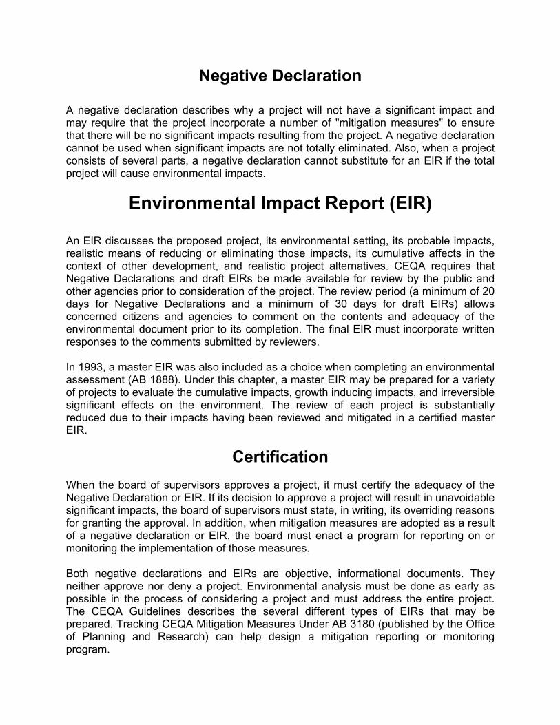
Negative Declaration
A negative declaration describes why a project will not have a significant impact and may require that the project incorporate a number of "mitigation measures" to ensure that there will be no significant impacts resulting from the project. A negative declaration cannot be used when significant impacts are not totally eliminated. Also, when a project consists of several parts, a negative declaration cannot substitute for an EIR if the total project will cause environmental impacts.
Environmental Impact Report (EIR)
An EIR discusses the proposed project, its environmental setting, its probable impacts, realistic means of reducing or eliminating those impacts, its cumulative affects in the context of other development, and realistic project alternatives. CEQA requires that Negative Declarations and draft EIRs be made available for review by the public and other agencies prior to consideration of the project. The review period (a minimum of 20 days for Negative Declarations and a minimum of 30 days for draft EIRs) allows concerned citizens and agencies to comment on the contents and adequacy of the environmental document prior to its completion. The final EIR must incorporate written responses to the comments submitted by reviewers. In 1993, a master EIR was also included as a choice when completing an environmental assessment (AB 1888). Under this chapter, a master EIR may be prepared for a variety of projects to evaluate the cumulative impacts, growth inducing impacts, and irreversible significant effects on the environment. The review of each project is substantially reduced due to their impacts having been reviewed and mitigated in a certified master EIR.
Certification
When the board of supervisors approves a project, it must certify the adequacy of the Negative Declaration or EIR. If its decision to approve a project will result in unavoidable significant impacts, the board of supervisors must state, in writing, its overriding reasons for granting the approval. In addition, when mitigation measures are adopted as a result of a negative declaration or EIR, the board must enact a program for reporting on or monitoring the implementation of those measures. Both negative declarations and EIRs are objective, informational documents. They neither approve nor deny a project. Environmental analysis must be done as early as possible in the process of considering a project and must address the entire project. The CEQA Guidelines describes the several different types of EIRs that may be prepared. Tracking CEQA Mitigation Measures Under AB 3180 (published by the Office of Planning and Research) can help design a mitigation reporting or monitoring program.

Note: This chart illustrates the three common paths for project processing. Processing times and the level of complexity of Negative Declarations and EIRs are not the same.

THE PERMIT STREAMLINING ACT
This law sets time limits for governmental action on some types of projects (see Government Code sections 65920-65963.
• Failure to act within those time limits can mean automatic approval of a project. The act applies to discretionary projects (those which the local government has the power to deny or conditionally approve), which are "adjudicative" in nature. An adjudicative decision applies existing policies and regulations to a particular situation.
• Conditional use permits, subdivisions, and variances are all actions subject to the Permit Streamlining Act.
• The Act does not apply to the adoption or amendment of a general plan or of a zoning ordinance.
• Generally speaking, local government must take action on administrative projects within 180 days of the date upon which the project's final EIR is certified. This period is 60 days when a negative declaration is adopted or the project is exempt from CEQA.
• A project may be automatically approved under the Act if the jurisdiction fails to make a decision within the time limit and the developer takes certain actions to provide public notice.

LAFCO Local Agency Formation Commission
• The Local Agency Formation Commission (LAFCO) established in each county by the state’s Cortese-Knox-Hertzberg Act (commencing with Government Code Section 56000) controls annexation (the addition of territory to an existing city) and incorporation (creation of a new city).
• The commission is made up of elected officials from the county, cities, and, in some cases, special districts.
• LAFCO duties include: establishing the "spheres of influence" that designate the service areas of cities and special districts; studying and approving requests for city annexations; and, studying and approving proposals for city incorporations.
The Sphere of Influence
• The sphere of influence is a plan for the probable ultimate physical boundaries
and service area of a city or special district.
• The LAFCO is responsible for establishing a sphere for each city and special district in the county.
• The purpose of the sphere is to act as a benchmark for future annexation decisions.
• Cities cannot establish their own sphere of influence. The LAFCO has sole responsibility for doing this. However, a city may request that the LAFCO amends its sphere.
• Some cities use their sphere of influence as a convenient boundary for their general plan. These cities plan beyond their city limits although they usually have no actual authority over land uses in county areas. This planning anticipates the eventual annexation of land into the city.
Annexation
When the LAFCO receives an annexation request, it will convene a hearing to determine the worthiness of the proposal and may deny or conditionally approve the request based on the policies of the LAFCO and state law. Annexation requests which receive tentative LAFCO approval are delegated to the affected city for hearings and, if necessary, an election. Annexations that have been passed by vote of the inhabitants or which have not been defeated by protest (in cases where no election was required) must be certified by the LAFCO as to meeting all its conditions before they become final. It is the LAFCO, not the city, which is ultimately responsible for the annexation process.

Incorporation When the formation of a new city is proposed, the LAFCO studies the economic feasibility of the proposed city, its impact on the county and special districts, and its ability to provide public services. A new city must be shown to be "revenue neutral" with regard to the tax revenues lost by the county as a result of incorporation and the cost of current services to the proposed city. If the feasibility of the proposed city cannot be shown, the LAFCO can terminate the proceedings. If the proposed city appears to be feasible, LAFCO will refer the proposal to the county board of supervisors for hearing along with a set of conditions to be met upon incorporation. If the supervisors do not receive protests from a majority of the involved voters, an election will be held among the voters within the proposed city boundaries to create the city. The voters elect the first council at the same election.
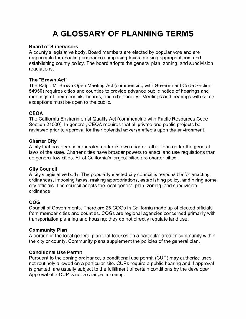
A GLOSSARY OF PLANNING TERMS Board of Supervisors A county's legislative body. Board members are elected by popular vote and are responsible for enacting ordinances, imposing taxes, making appropriations, and establishing county policy. The board adopts the general plan, zoning, and subdivision regulations. The "Brown Act" The Ralph M. Brown Open Meeting Act (commencing with Government Code Section 54950) requires cities and counties to provide advance public notice of hearings and meetings of their councils, boards, and other bodies. Meetings and hearings with some exceptions must be open to the public. CEQA The California Environmental Quality Act (commencing with Public Resources Code Section 21000). In general, CEQA requires that all private and public projects be reviewed prior to approval for their potential adverse effects upon the environment. Charter City A city that has been incorporated under its own charter rather than under the general laws of the state. Charter cities have broader powers to enact land use regulations than do general law cities. All of California's largest cities are charter cities. City Council A city's legislative body. The popularly elected city council is responsible for enacting ordinances, imposing taxes, making appropriations, establishing policy, and hiring some city officials. The council adopts the local general plan, zoning, and subdivision ordinance. COG Council of Governments. There are 25 COGs in California made up of elected officials from member cities and counties. COGs are regional agencies concerned primarily with transportation planning and housing; they do not directly regulate land use. Community Plan A portion of the local general plan that focuses on a particular area or community within the city or county. Community plans supplement the policies of the general plan. Conditional Use Permit Pursuant to the zoning ordinance, a conditional use permit (CUP) may authorize uses not routinely allowed on a particular site. CUPs require a public hearing and if approval is granted, are usually subject to the fulfillment of certain conditions by the developer. Approval of a CUP is not a change in zoning.

Density Bonus An increase in the allowable number of dwelling units granted by the city or county in return for the project's providing low- or moderate-income housing (see Government Code Section 65915). Design Review Committee A group appointed by the city council to consider the design and aesthetics of development within design review zoning districts. Development Fees Fees charged to developers or builders as a prerequisite to construction or development approval. The most common are: (1) impact fees (such as parkland acquisition fees, school facilities fees, or street construction fees) related to funding public improvements which are necessitated in part or in whole by the development; (2) connection fees (such as water line fees) to cover the cost of installing public services to the development; (3) permit fees (such as building permits, grading permits, sign permits) for the administrative costs of processing development plans; and, (4) application fees (rezoning, CUP, variance, etc.) for the administrative costs of reviewing and hearing development proposals. Downzone This term refers to the rezoning of land to a more restrictive or less intensive zone (for example, from multi-family residential to single-family residential or from residential to agricultural). EIR Environmental Impact Report. A detailed review of a proposed project, its potential adverse impacts upon the environment, measures that may avoid or reduce those impacts, and alternatives to the project. Final Map Subdivision Final map subdivisions (also called tract maps or major subdivisions) are land divisions that create five or more lots. They must be consistent with the general plan and are generally subject to stricter requirements than parcel maps. Such requirements may include installing road improvements, the construction of drainage and sewer facilities, parkland dedications, and more. Floor Area Ratio Abbreviated as FAR, this is a measure of development intensity. FAR is the ratio of the amount of floor area of a building to the amount of area of its site. For instance, a one-story building that covers an entire lot has an FAR of 1. Similarly, a one-story building that covers 1/2 of a lot has an FAR of 0.5. General Law City A city incorporated under and administered in accordance with the general laws of the state.

General Plan A statement of policies, including text and diagrams setting forth objectives, principles, standards, and plan proposals, for the future physical development of the city or county (see Government Code Sections 65300 et seq.). "Granny" Housing Typically, this refers to a second dwelling attached to or separate from the main residence that houses one or more elderly persons. California Government Code 65852.1 enables cities and counties to approve such units in single-family neighborhoods. Impact Fees See Development Fees. Infrastructure A general term describing public and quasi-public utilities and facilities such as roads, bridges, sewers and sewer plants, water lines, power lines, fire stations, etc. Initial Study Pursuant to CEQA, an analysis of a project's potential environmental effects and their relative significance. An initial study is preliminary to deciding whether to prepare a negative declaration or an EIR. Initiative A legislative measure that has been placed on the election ballot as a result of voter signatures. At the local level, initiatives usually propose changes or additions to the general plan and zoning ordinance. The California Constitution guarantees the right to initiative. LAFCO Local Agency Formation Commission. The Cortese-Knox Act (commencing with Government Code Section 56000) establishes a LAFCO made up of elected officials of the county, cities, and, in some cases, special districts in each county. The 57 LAFCOs establish spheres of influence for all the cities and special districts within the county. They also consider incorporation and annexation proposals. Mitigation Measure The California Environmental Quality Act requires that when an adverse environmental impact or potential impact is identified, measures must be proposed that will eliminate, avoid, rectify, compensate for or reduce those environmental effects.
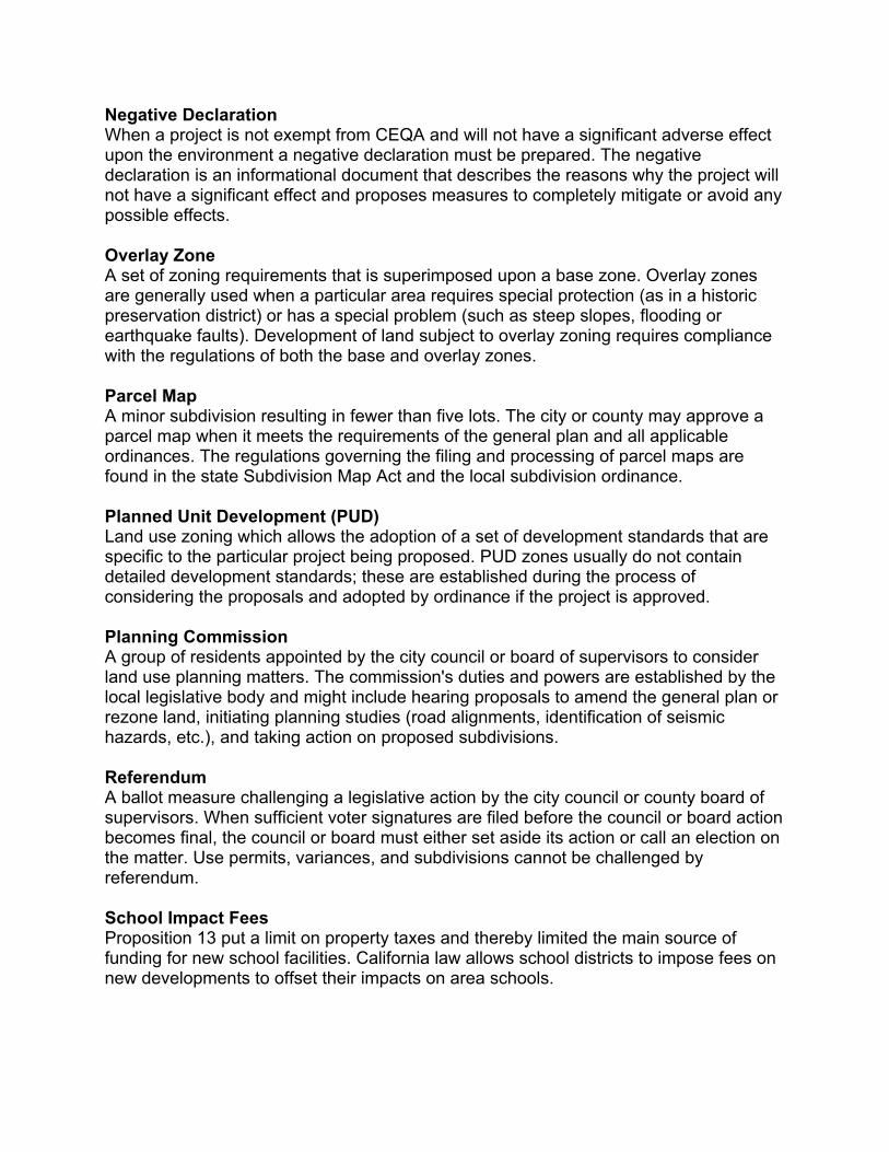
Negative Declaration When a project is not exempt from CEQA and will not have a significant adverse effect upon the environment a negative declaration must be prepared. The negative declaration is an informational document that describes the reasons why the project will not have a significant effect and proposes measures to completely mitigate or avoid any possible effects. Overlay Zone A set of zoning requirements that is superimposed upon a base zone. Overlay zones are generally used when a particular area requires special protection (as in a historic preservation district) or has a special problem (such as steep slopes, flooding or earthquake faults). Development of land subject to overlay zoning requires compliance with the regulations of both the base and overlay zones. Parcel Map A minor subdivision resulting in fewer than five lots. The city or county may approve a parcel map when it meets the requirements of the general plan and all applicable ordinances. The regulations governing the filing and processing of parcel maps are found in the state Subdivision Map Act and the local subdivision ordinance. Planned Unit Development (PUD) Land use zoning which allows the adoption of a set of development standards that are specific to the particular project being proposed. PUD zones usually do not contain detailed development standards; these are established during the process of considering the proposals and adopted by ordinance if the project is approved. Planning Commission A group of residents appointed by the city council or board of supervisors to consider land use planning matters. The commission's duties and powers are established by the local legislative body and might include hearing proposals to amend the general plan or rezone land, initiating planning studies (road alignments, identification of seismic hazards, etc.), and taking action on proposed subdivisions. Referendum A ballot measure challenging a legislative action by the city council or county board of supervisors. When sufficient voter signatures are filed before the council or board action becomes final, the council or board must either set aside its action or call an election on the matter. Use permits, variances, and subdivisions cannot be challenged by referendum. School Impact Fees Proposition 13 put a limit on property taxes and thereby limited the main source of funding for new school facilities. California law allows school districts to impose fees on new developments to offset their impacts on area schools.

Setback A minimum distance required by zoning to be maintained between two structures or between a structure and property lines. Specific Plan A plan addressing land use distribution, open space availability, infrastructure, and infrastructure financing for a portion of the community. Specific plans put the provisions of the local general plan into action (see Government Code Sections 65450 et seq.). Tentative Map The map or drawing illustrating a subdivision proposal. The city or county will approve or deny the proposed subdivision based upon the design depicted by the tentative map. A subdivision is not complete until the conditions of approval imposed upon the tentative map have been satisfied and a final map has been certified by the city or county and recorded with the county recorder. Tract Map See final map subdivision. Variance A limited waiver from the property development standards of the zoning ordinance. Variance requests are subject to public hearing, usually before a zoning administrator or board of zoning adjustment. Variances do not allow a change in land use. Zoning Local codes regulating the use and development of property. The zoning ordinance divides the city or county into land use districts or "zones", represented on zoning maps, and specifies the allowable uses within each of those zones. It establishes development standards for each zone, such as minimum lot size, maximum height of structures, building setbacks, and yard size. Zoning Adjustment Board A group appointed by the local legislative body to consider minor zoning adjustments such as conditional use permits and variances. It is empowered to conduct public hearings and to impose conditions of approval. Its decisions may be appealed to the local legislative body. Zoning Administrator A planning department staff member responsible for hearing minor zoning permits. Typically, the zoning administrator considers variances and conditional use permits and may interpret the provisions of the zoning ordinance when questions arise. His/her decision may be appealed to the local legislative body.